Carlingford, NSW
Carlingford is located approximately 15 kilometres northwest of Sydney in the Shire of Baulkham Hills.
The original inhabitants of the Carlingford area were the Darug people. The Darug were the custodians of the majority of what is now the Greater Sydney region. They were divided into a number of different ‘clans’, whose quick demise upon European settlement has sadly resulted in very little information remaining on how they utilised the local area.
In the early years of European settlement the area was known as Mobbs Hill after William Mobbs an early settler. Carlingford probably received its name to honour Lord Carlingford who was Under-secretary of State for the Colonies from 1857 to 1860. His title is associated with the town of Carlingford in Ireland. The name was suggested by Frederick Cox who heard one of his employees describe the similarities between Mobbs Hill and the scenery of Carlingford in Ireland. Residents voted for the name in 1886.
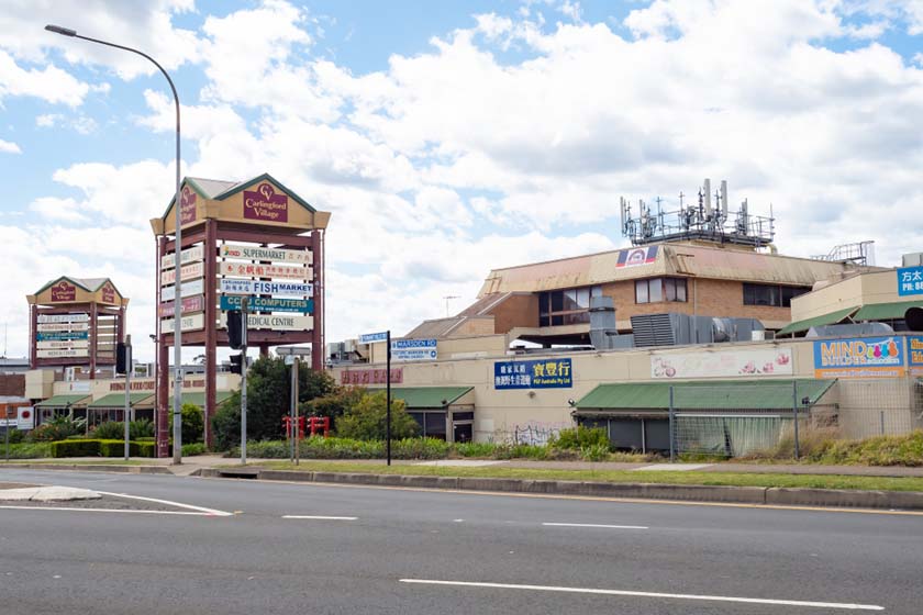
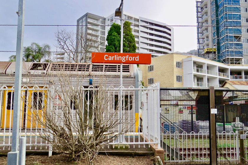
Carlingford is an attractive suburban destination comprising two shopping centres, restaurants, a variety of accommodation and it is located within easy reach of the city via the M2 Motorway. The town also has a railway station and bus networks providing access to the city and Parramatta.
Towns surrounding Carlingford include: Epping, North Parramatta, North Rocks, Oatlands and West Pennant Hills.
Visitor Information:
Sydney Hills Visitor Centre
656A Old Northern Road, Dural
(02) 9651 4411
Nearest Airport: Sydney Kingsford Smith Airport, Mascot
Where to stay?
About Carlingford
- Locality: Suburb
- Carlingford Postcode: 2118
- State: New South Wales
- Region: Sydney
- Latitude: -33.78296
- Longitude: 151.04771
- Elevation: 110m
- Population: 24394
- Median Income: $33696
- Area (Sq/km): 8.528
- Timezone: Australia/Sydney


