
Burrumbuttock, NSW
Burrumbuttock is a village of about 370 people on the Urana Road, 33 km north-west of Albury and 15 km from Jindera. Its name is one of the most enjoyed in the district.
Known For
- The Wirraminna Environmental Education Centre
- A village pub
- The Burrumbuttock hay runners
Things To Do in Burrumbuttock
Wirraminna is a reserve of themed native gardens, woodland and a dam, with walking paths and a picnic area with a free electric barbecue, open daily; its Discovery Centre opens by appointment. The village became known across the country for the Burrumbuttock Hay Runners, convoys of trucks that carried donated hay to drought-stricken farmers in western New South Wales and Queensland.
Walking Track and Heritage Signs
A 4.5 km circuit walk loops around the village, and heritage signs around town tell the local history. Schmidt Park in the main street has barbecues and a playground.
Holy Cross Lutheran Church
German Lutheran families from South Australia settled around Burrumbuttock in the 1870s, and their Holy Cross Lutheran Church is one of the village landmarks, along with the old Burrum Hall.
Where To Stay
The Burrumbuttock camping ground, on Urana Road, is basic and a short walk from the main street. Albury has caravan parks, and Jindera has a free council camping ground.
The Burrumbuttock Primitive Camping Ground is at the hall, with unpowered sites and a shower block and a 48-hour limit; ring the council number before arriving. Shalimar Cottage, about 6 km out, suits families and groups.
For powered sites and a dump point, go to the Lavington parks on the northern edge of Albury. The Urana Road is sealed all the way, so big rigs have no trouble reaching the hall.
Eat & Drink
The Farmers Inn Hotel serves meals, and there is a general store.
The Farmers Inn has been trading for more than 140 years and was renovated by new owners who took over in 2024, so ring to check kitchen hours. The general store is also the post office and visitor information point. Fuel could not be confirmed, so fill up in Albury or Jindera.
History
Burrumbuttock is Wiradjuri country, and the name is thought to be Aboriginal in origin. The district was part of Burrumbuttock station by 1839, and after the land acts of 1861 many German settlers arrived from South Australia in the 1870s. The post office opened in 1883, and the village had a siding on the Culcairn to Corowa railway, since closed. Locals call it Burrum.
Getting to Burrumbuttock
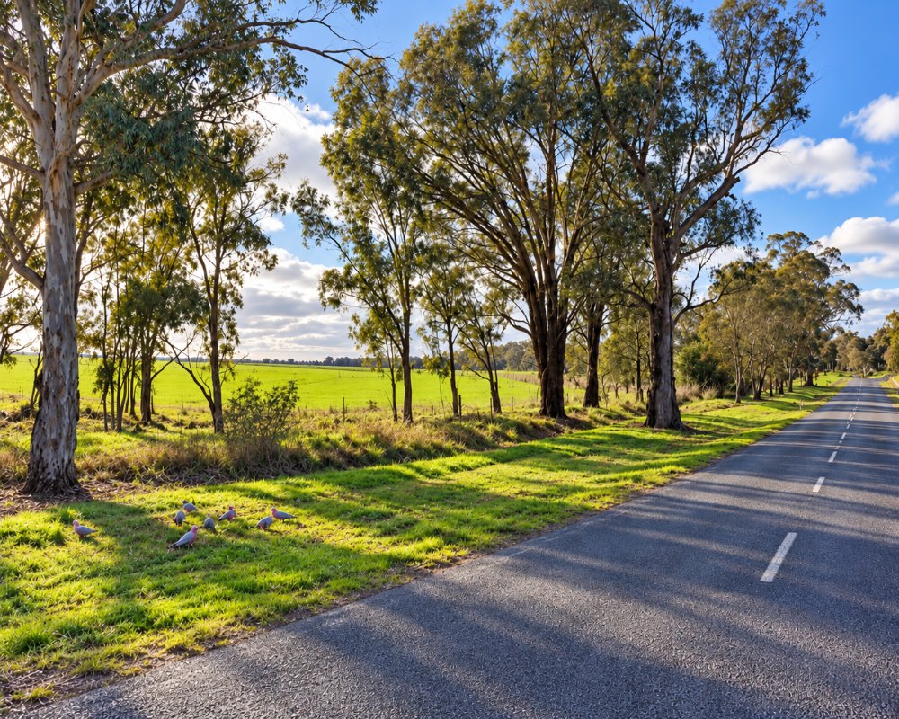
Burrumbuttock is half an hour from Albury on a sealed road.
From Sydney it is about 555 km by the Hume Highway to Albury, then north-west through Lavington and Jindera. Walla Walla is reached by local roads to the north-east.
Experiences
- Historic/Heritage
- Nature based
- Rural/Country
- Self-Drive
Popular Activities
- Bird Watching
- Bush Walking
- Caravan and Camping
- Driving
- Sightseeing
About Burrumbuttock
- Locality: Rural locality
- Burrumbuttock Postcode: 2642
- State: New South Wales
- Region: Country NSW
- Latitude: -35.83543
- Longitude: 146.80286
- Elevation: 223m
- Population: 366
- Median Income: $33332
- Area (Sq/km): 177.856
- Timezone: Australia/Sydney
