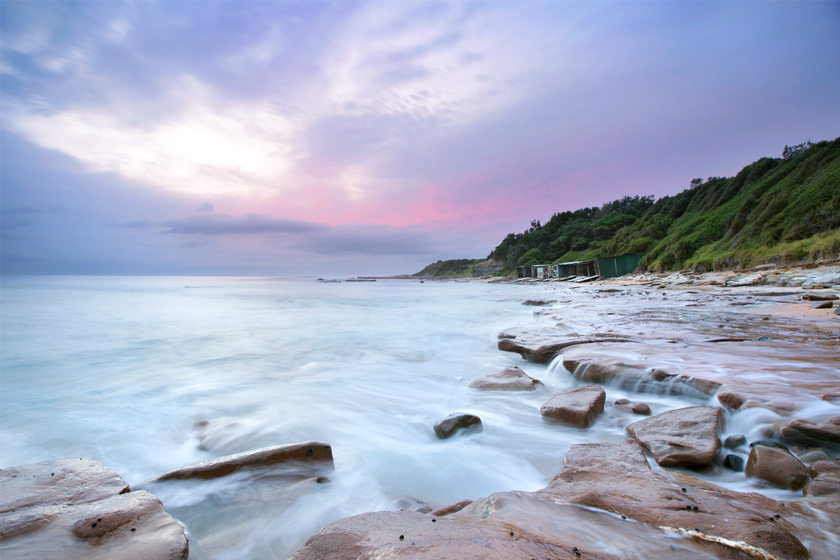
Bulli, NSW
The name Bulli first appeared in the Sydney Gazette of 1815 when it was reported that one of a party searching for lost cedar-getters was at a place called ‘Bolye’.
For many years the name Bulli was used for all the country from Wollongong and
north to Coal Cliff. The original Aboriginal name for the area was Bulla or Bulla Bulla, meaning ‘two mountains’ of Mt Kembla & Mt Keira.
Nearest Airport: Sydney Kingsford Smith Airport, Mascot
Where to stay?
About Bulli
- Locality: Suburb
- Bulli Postcode: 2516
- State: New South Wales
- Region: South Coast
- Latitude: -34.33386
- Longitude: 150.91328
- Elevation: 24m
- Population: 6105
- Median Income: $39780
- Area (Sq/km): 8.662
- Timezone: Australia/Sydney
Accommodation In Bulli
Discover some of the accommodation in and around Bulli