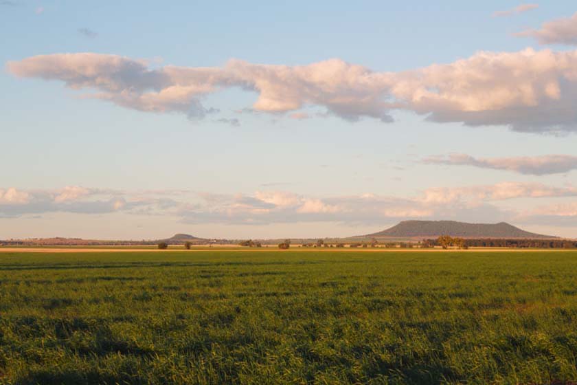
Bellata, NSW
Bellata is approximately 48kms North of Narrabri on the Newell highway and approximately 54kms South of Moree on the Newell highway.
Bellata is a rich agricultural region as well as being know for its minerals such as petried and opalised wood and agate. The Bellata are is responsible for the production of some of the best “primehard” wheat in Australia and has a very large grain storage complex and silos. The Countryside at Bellata is superb.
It has beautiful rich soils and the land is gently undulating.
Bellata has a Police Station,Primary School,9 Hole sand green Golf Course,Tennis Coutrs,Anglican and Catholic Churches,Memorial hall,Roadhouse,Caravan park and several coommunity groups.
The Hall is a hive activity each year for the Annual Matron’s Ball.
Bellata is Pronounced – Bell – at – a
Where to stay?
Popular Activities
- Golfing
About Bellata
- Locality: Rural locality
- Bellata Postcode: 2397
- State: New South Wales
- Region: Country NSW
- Latitude: -29.91962
- Longitude: 149.79098
- Elevation: 234m
- Population: 350
- Median Income: $36088
- Area (Sq/km): 1021.64
- Timezone: Australia/Sydney


