
Allendale East, SA
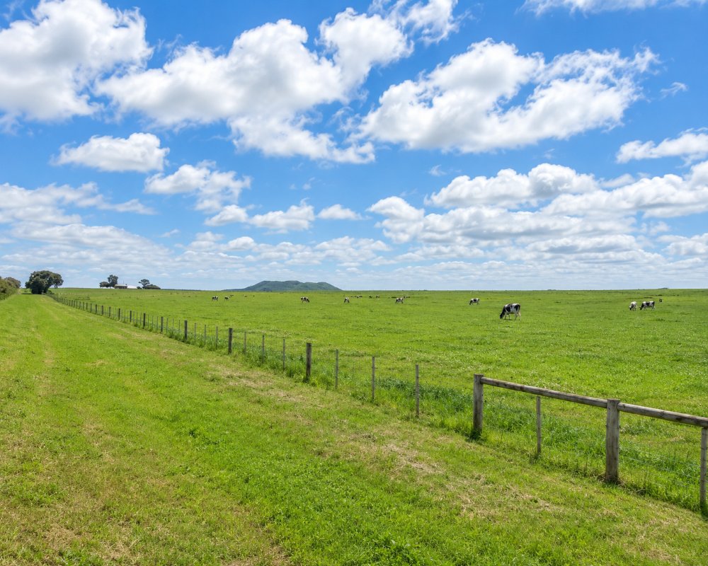
Allendale East is a township of about 480 people on the road from Mount Gambier to Port MacDonnell, about 20 kilometres south of the city. Dairy farms surround it, and Mount Schank rises to the north.
It lies between Mount Gambier and Port MacDonnell, which have the accommodation, and is a place to pause rather than stay.
Known For
- A sinkhole in the middle of the road
- The turn-off for Ewens Ponds and the border coast
- Dairy country below Mount Schank
Things To Do in Allendale East
The Allendale Sinkhole
In the centre of the township the highway divides around a fenced hole in the ground. Below it is a flooded cave that once supplied the district’s water. Only qualified cave divers may enter, by permission; everyone else can read the plaque and peer in.
Towards the Ponds
Lower Nelson Road turns east just past the township and leads to Ewens Ponds, nine kilometres along, and on to Piccaninnie Ponds and the Victorian border.
Snorkelling at Ewens Ponds
Sessions at Ewens Ponds last an hour and must be booked and paid for online before you arrive. Groups are two to six people, children under six are not allowed and under-16s need an adult. Everyone needs a full-length wetsuit (4 mm or thicker is advised for water of about 15 degrees), a mask, a snorkel and short fins no longer than 55 cm. The parks service does not hire gear. The ponds close every year from 1 September to 30 November and can close at short notice when the water is low, as happened during 2025.
Mount Schank and Little Blue Lake
The volcanic cone of Mount Schank, about 7 km north, has a steep 900 metre path to the crater rim and views over the dairy country to the sea. A little further west on Mount Salt Road, Little Blue Lake is a deep sinkhole with stairs down to a pontoon, where strong swimmers take a cold dip in summer.
Where To Stay
There is no accommodation in Allendale East, and camping is not permitted in the memorial park.
Port MacDonnell, eight kilometres south, has a tourist park, and Mount Gambier has five caravan parks.
The nearest beds are at Port MacDonnell, 8 km south. The Foreshore Tourist Park there has powered sites, cabins, lodges by the beach and a dump point, the Victoria Hotel has budget pub rooms, and the Customs House has apartments near the jetty. Self-contained travellers have more choice. The Bellum Hotel at Mount Schank, about 7 km north, lets self-contained campers park behind the pub; ring ahead and check in at the front bar. The council’s free sites along Eight Mile Creek Road, between Port MacDonnell and the ponds, take self-contained vehicles for up to three nights with a permit, and Brown Bay nearby is another listed site.
To the north, the villas at Kilsby Sinkhole near Moorak sit beside a flooded limestone chamber that guests can tour. The southern edge of Mount Gambier, about 17 km north, has two of the city’s caravan parks. The BIG4 Blue Lake Holiday Park has an indoor heated pool and waterslides, and Pine Country has cabins, glamping tents and fenced dog-friendly sites. Both are close to the Blue Lake.
Eat & Drink
The general store sells takeaway and supplies and has hired snorkelling gear for the ponds. Port MacDonnell has a pub and cafes.
For a sit-down meal, the Bellum Hotel at Mount Schank, about 7 km north on the highway, serves lunch and dinner from Tuesday to Sunday. The menu runs from soups, schnitzels and burgers to steaks, seafood and slow-cooked winter meals, and everything can be taken away. Port MacDonnell, 8 km south, has the Shipwreck Bistro at the Victoria Hotel, open for lunch and dinner every day with local crayfish in season. Salt Cafe and Bar on Sea Parade does coffee, breakfast and seafood chowder, and the General Store on Meylin Street has takeaway and groceries.
In Mount Gambier, 20 km north, Metro Bakery and Cafe and Presto Eatery on Commercial Street East are the pick for breakfast before a day at the ponds. Woolstore Brewery on Margaret Street is a family-friendly place for a beer afterwards. Buy picnic food and fill up with fuel in Mount Gambier, as nothing is sold at the ponds.
History
The township grew up in the 1920s as the centre of a soldier settlement and dairying district.
Getting to Allendale East
Allendale East is on the Riddoch Highway, 15 minutes south of Mount Gambier.
Experiences
- Active
- Caravan and Camping
- Rural/Country
- Self-Drive
Popular Activities
- Caravan and Camping
- Caving
- Diving
- Driving
- Sightseeing
- Snorkelling
- Swimming
About Allendale East
- Locality: Urban locality
- Allendale East Postcode: 5291
- State: South Australia
- Region: Limestone Coast
- Latitude: -38.00337
- Longitude: 140.70894
- Elevation: 16m
- Population: 472
- Median Income: $30940
- Area (Sq/km): 50.117
- Timezone: Australia/Adelaide
