
Mount Bogong, VIC
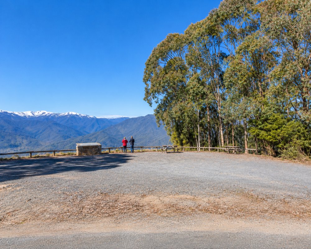
Mount Bogong, at 1,986 metres, is the highest mountain in Victoria, rising in a huge, broad-shouldered mass above the Kiewa Valley near Mount Beauty. Its bare summit plateau is snow-covered for much of the year, and on a clear day the views stretch across the Alps to New South Wales.
It lies within the Alpine National Park and is a serious walk, best tackled by fit and well-prepared walkers.
Known For
- Victoria’s highest summit
- The Staircase Spur walk
- Historic huts and the 1936 tragedy
Things To Do in Mount Bogong
Staircase Spur
The most popular route is the Staircase Spur from the Mountain Creek camping area, about 16 km return with a climb of more than 1,500 metres, taking 6 to 9 hours. The upper section and the summit plateau are exposed, and the weather can change quickly, even in summer.
Huts
Bivouac Hut, about 3 km below the summit on the Staircase Spur, is an emergency refuge with a water tank. Cleve Cole Memorial Hut, in Camp Valley on the far side, was begun in 1937 in memory of the skier who died on the mountain, and is cared for by the Mt Bogong Club.
Other Routes
The Eskdale Spur, reached by 4WD from Camp Creek Gap, and the long Long Spur are other ways up, and multi-day walks link Bogong with the Bogong High Plains.
Mountain Creek Walks
If you are not climbing, short walks at Mountain Creek, such as the Shady Gully and Tree Fern walks, explore the forest at the foot of the mountain.
When To Visit
Summer and early autumn, from December to April, are the only sensible time for most walkers. In winter the mountain is a serious alpine environment for experienced ski tourers only. Always check the forecast and Parks Victoria alerts.
Camping on the Mountain
Fit walkers can turn the climb into an overnight trip. Parks Victoria lists a camping area at Cleve Cole Hut in Camp Valley, below the summit on the eastern side, within the Bogong Remote and Natural Area. Camping here is free and needs no booking, but you must carry a tent, stove, warm gear and water, as the huts are emergency shelters and the plateau is fully exposed to the weather.
Where To Stay
For campers, the Mountain Creek camping area, about 12 km from Tawonga, has creekside sites, pit toilets and fireplaces; dogs and generators are not allowed. The road is gravel but suitable for most vehicles. Mount Beauty and Tawonga have caravan parks, motels and chalets.
Mountain Creek is the usual base, and the camping area sits right at the start of the Staircase Spur, so an early start is easy. In the valley below, Tawonga Tourist Park, reached by Ryders Lane and Mountain Creek Road, is the closest caravan park to the walk, with powered sites for large vans, dog-friendly cabins and riverside sites. Tasman Holiday Parks Mount Beauty, at Tawonga South, has powered and unpowered sites, cabins and yurts and takes pets. For a bed after a long day, the Mount Beauty Motor Inn is a small motel in town, and Rocky Valley in Tawonga South has two-bedroom apartments with lock-up gear storage.
Up on the mountain, apart from the Falls to Hotham Alpine Crossing, the Alpine National Park has no bookings or camping fees, and Cleve Cole Hut camping area is the main overnight spot for those crossing the summit. Bivouac Hut on the Staircase Spur is for emergencies only. Mountain Creek Road is gravel, fine for most vehicles in dry weather, but take it slowly after rain. Parts of the park can close at short notice for fire works or deer control, so check Parks Victoria alerts before setting out.
Eat & Drink
There are no facilities on the mountain, so carry all food and plenty of water. Mount Beauty and Tawonga South have a brewery, pubs, cafes and bakeries.
There is no food or water supply on the mountain. The nearest cafes are in Tawonga South, about 15 km from Mountain Creek: Rocky Valley Cafe for coffee and cakes before an early start, and Grass Valley for breakfast, lunch or pizza at night. For a post-climb beer, Crank Handle Brewery at Tawonga South and Mountain Monk Brewers in Mount Beauty, about 18 km away, both serve meals. Stock up at the FoodWorks supermarket in Mount Beauty and fill up at the Ampol in Tawonga South.
History
This is the Country of the Jaithmathang people, who describe themselves as gatekeepers of the Bogong and Kiewa country, and of the Dhudhuroa. The mountain’s name comes from the Bogong moths that Aboriginal people feasted on in the Alps each summer. In August 1936 Cleve Cole, Mick Hull and Howard Michell set out from Hotham to make the first winter crossing to Bogong. A blizzard trapped them on the summit and they descended the wrong side into the Big River valley; Cole died of exposure after being rescued.
Getting to Mount Bogong
Mountain Creek, the start of the Staircase Spur, is about 12 km from Tawonga and 30 minutes from Mount Beauty, about 4.5 hours’ drive from Melbourne via the Hume Freeway and Bright. There is no public transport.
Experiences
- Eco Tourism
- Mountain
- Nature based
- Remote
Popular Activities
- Bush Walking
- Caravan and Camping
- National Park
- Wildlife
About Mount Bogong
- Locality: Mountain
- Mount Bogong Postcode: 3699
- State: Victoria
- Region: High Country
- Latitude: -36.7360
- Longitude: 147.3030
- Elevation: 1986m
- Timezone: Australia/Melbourne
