
Killiecrankie, TAS
Killiecrankie is a handful of houses on Killiecrankie Bay, in the north-west of Flinders Island, about 30 minutes north of Whitemark. Fewer than 30 people live here.
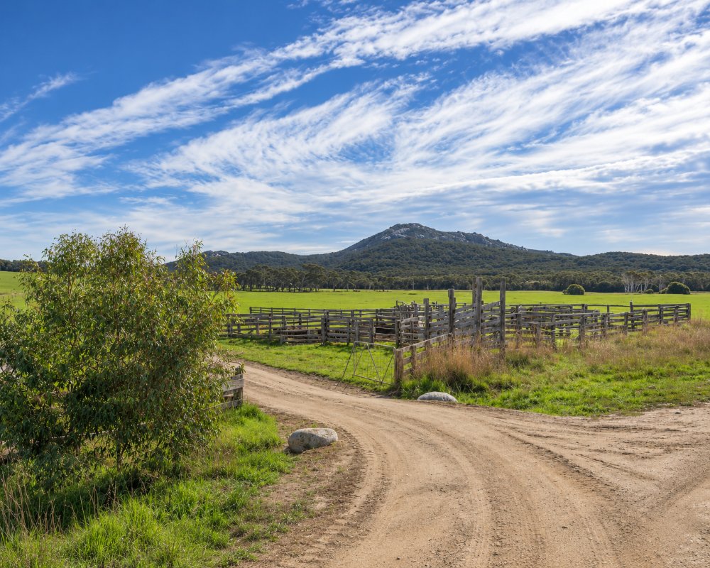
The bay is a long curve of sand under the granite bulk of Mount Killiecrankie. People come to walk, to swim, and to sift the sand for the clear stones known as Killiecrankie diamonds.
Known For
- Fossicking for Killiecrankie diamonds
- Mount Killiecrankie and its granite coast
- A long, quiet beach
Things To Do in Killiecrankie
Killiecrankie Bay
The beach is good for swimming, walking and launching a boat. Crayfish boats land their catch here, and at times you can buy a crayfish straight from the boat.
Fossicking for Killiecrankie Diamonds
The diamonds are in fact topaz, clear, pale blue or pinkish gold. Part of the bay is a declared fossicking area, where no licence is needed. Only hand tools may be used and metal detectors are not allowed. The best-known spot is among the granite boulders on the foreshore near Diamond Gully, at low tide. Ask at the visitor desk in Whitemark about hiring a sieve and shovel.
Mount Killiecrankie
A rough walk leads along the beach and up the mountain for wide views of the north of the island and the islands offshore. Allow half a day. The track is not well marked, so ask locally before setting out. The granite cliffs are used by rock climbers.
The Docks and Old Mans Head
A coastal walk of seven to eight kilometres goes around the foot of the mountain past the rock formation called Old Mans Head to the coves known as The Docks.
Where To Stay
The Killiecrankie Bay camping ground is privately run and should be booked by phone; it has a barbecue, a shared shower and a laundry. There are a few holiday houses, among them the Crayshack on the beach.
The foreshore has a day-use area with a free gas barbecue, tables, tank water and public toilets.
Eat & Drink
There is no shop and no cafe at Killiecrankie, and no fuel. Nothing is sold north of Whitemark, so bring all your food and drink with you.
History
Killiecrankie is thought to be named after the pass in Scotland. Tin was dug at Tanners Bay to the south, and people have gathered topaz from the bay for generations. The locality was gazetted in 1956.
Getting to Killiecrankie
Take Palana Road north from Whitemark. The last part is unsealed. The mobile signal is weak, and there is a public phone in the settlement.
Experiences
- Nature based
- Relaxation
Popular Activities
- Beach
- Fishing
- Surfing
- Swimming
About Killiecrankie
- Locality: Rural locality
- Killiecrankie Postcode: 7255
- State: Tasmania
- Region: Flinders Island
- Latitude: -39.82945
- Longitude: 147.8858
- Timezone: Australia/Hobart
