
Tooraweenah, NSW
Tooraweenah is a village of about 250 people, two kilometres off the Newell Highway, 44 km north-east of Gilgandra and about 55 km south-west of Coonabarabran. The jagged skyline of the Warrumbungle Range fills the view to the north-east.
Known For
- The western gateway to the Warrumbungles
- A village caravan park
- Views of the range
Things To Do in Tooraweenah
The road from the village into Warrumbungle National Park reaches the visitor centre after about 40 km, roughly 40 minutes; check road conditions there before towing a caravan this way. The park has the Breadknife and Grand High Tops walk, campgrounds and some of the darkest night skies in the country. In the village, a viewing platform looks towards the range, and the wide streets and old shopfronts are worth a wander.
The Kookaburra March
In January 1916, three months after the Coo-ee March left Gilgandra, 25 men from Tooraweenah set out to march to Bathurst to enlist. The village remembers them with a returned soldier sculpture and a historical walk past its old shopfronts.
Tooraweenah Park
The park in the centre of the village has shaded picnic tables, barbecues, toilets and a playground, with tennis courts and a sports ground beside it, a good lunch stop on the way to the Warrumbungles.
Where To Stay
Tooraweenah Caravan Park, on Bridge Street, has a pool, a camp kitchen and a dump point. Tooraweenah Crossroads Cabins, at the Newell Highway turn-off, has cabins and a pool.
Camp Blackman, inside the national park, has powered sites.
Tooraweenah Caravan Park, at 16-26 Bridge Street, has powered and unpowered sites, cabins and an off-leash dog yard; pets are welcome on sites. Inside the park, Camp Blackman has 30 powered and 79 unpowered sites, hot showers and sealed carparks and suits caravans; book through NPWS.
Eat & Drink
The Mountain View Hotel has a bistro open daily. The caravan park has a small coffee shop.
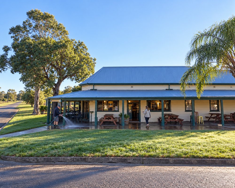
The Mountain View Hotel, at 1 Denham Street, is open seven days from midday. For groceries and reliable fuel, use Gilgandra or Coonabarabran, and fill up before heading into the park.
History
Gilgandra Shire gives the name’s meaning as home of the brown snake and describes the area as a meeting place of the Wiradjuri, Kamilaroi and Wailwan nations. Tooraweenah began in 1837 as one of Andrew Brown’s runs, and the first store supplied shepherds and drovers. The village also claims Arthur Butler’s airline, Butler Air Transport, in its history and still has an aerodrome.
Getting to Tooraweenah
Turn off the Newell Highway at the signposted junction between Gilgandra and Coonabarabran.
From Sydney it is about 450 km via Dubbo and the Newell Highway; from Gilgandra about 40 km north-east.
Experiences
- Eco Tourism
- Historic/Heritage
- Nature based
- Rural/Country
Popular Activities
- Bush Walking
- Caravan and Camping
- National Park
- Sightseeing
- Wildlife
About Tooraweenah
- Locality: Rural locality
- Tooraweenah Postcode: 2817
- State: New South Wales
- Region: Country NSW
- Latitude: -31.5024
- Longitude: 148.95843
- Elevation: 437m
- Timezone: Australia/Sydney
