
Terrey Hills, NSW
Terrey Hills is a semi-rural suburb on a high plateau about 25 kilometres north of the centre of Sydney, between St Ives and the Northern Beaches. It is a district of acreages, horse properties, plant nurseries and bushland, and it is best known to visitors as the turn-off for West Head and the eastern part of Ku-ring-gai Chase National Park.
Known For
- Gateway to West Head and Ku-ring-gai Chase
- Nurseries, horse riding and golf
- A rural pocket close to the beaches
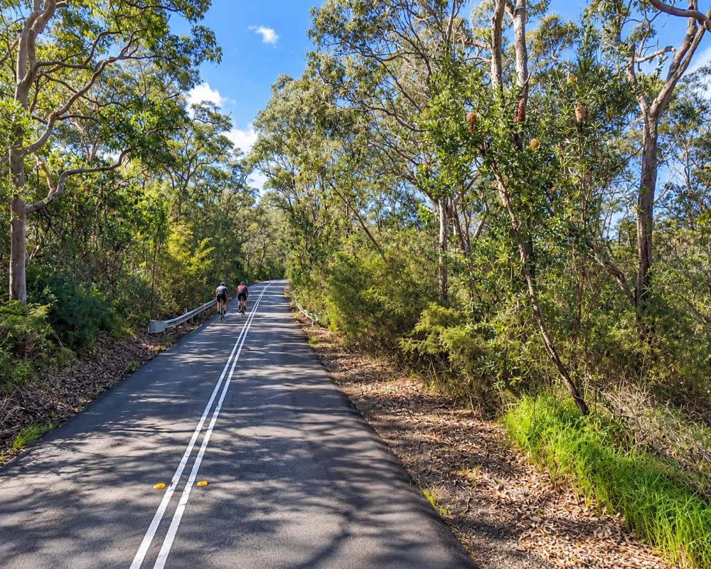
Mona Vale Road runs along the southern edge of the suburb. A small shopping village sits just off it, and from there McCarrs Creek Road heads north into the national park. Garigal National Park lies to the south.
Things To Do in Terrey Hills
West Head and Ku-ring-gai Chase
From Terrey Hills, a scenic road runs through the national park to West Head, with its famous lookout over Pittwater, Barrenjoey and Broken Bay. Along the way are Aboriginal rock engraving sites, walking tracks to hidden beaches and the turn-off to the waterside village of Cottage Point.
Horse Riding
Terrey Hills and neighbouring Duffys Forest are the centre of horse riding in northern Sydney. Riding schools offer lessons and trail rides through bushland, and riding lessons are held at the public arena on Anembo Road in neighbouring Duffys Forest, and the Perimeter Trail in Ku-ring-gai Chase is open to horses.
Nurseries and Gardens
Several large garden centres and specialist nurseries line Mona Vale Road, some with cafes, and they draw gardeners from across the north shore.
Golf
Terrey Hills Golf and Country Club, a Graham Marsh-designed 18-hole course in the bush beside Ku-ring-gai Chase, is a private club open only to members and their guests.
Baha’i Temple and Skippy’s Bush
On the ridge at Ingleside, a few minutes east, the white dome of the Baha’i House of Worship rises above the trees. Opened in 1961, it is one of only a handful of such temples in the world, and visitors of any faith are welcome to see the building and its gardens. At Duffys Forest, the former Waratah Park was the setting for the 1960s television series Skippy the Bush Kangaroo. It closed as a wildlife park in 2006. The site has belonged to the Metropolitan Local Aboriginal Land Council since 2014, and local volunteers are regenerating the bush.
Kimbriki Eco House and Garden
Kimbriki, the Northern Beaches’ resource recovery centre off Mona Vale Road, is open every day from 8am to 4.30pm. It is more than a tip: there is a Buy Back Centre for second-hand goods and an Eco House and Garden with a self-guided discovery trail, and workshops on composting, gardening and sustainable living are held there.
Horse Riding Trails
Ku-ring-gai Chase and Garigal national parks have about 21 km of trails open to horse riders, including the 7 km Perimeter Trail, an easy route of about 3 hours shared with mountain bikers and walkers. Park entry fees apply, and riders follow the NPWS code of practice. Terrey Hills Riding School runs lessons and holiday programmes.
West Head Road Gate Times
West Head Road leaves McCarrs Creek Road and runs through Ku-ring-gai Chase to West Head Lookout. NPWS shuts the gates at 8.30pm in daylight saving and at 6pm the rest of the year, and the park can close in bad weather or high fire danger. Vehicle entry is $12 a day, and there is nothing to buy inside the park on this side, so stock up in Terrey Hills first.
Where To Stay
Terrey Hills has little accommodation; the one confirmed place to stay is the boutique hotel at Miramare Gardens on Mona Vale Road.
More accommodation is available at Mona Vale and along the beaches.
Miramare Gardens at 289 Mona Vale Road is mostly a wedding and function venue, with deluxe rooms, a garden suite and a three-bedroom penthouse, so weekends can be busy with events. More choice is at Mona Vale, about 10 km east, where Reef Resort Apartments has two-bedroom units, and at Newport, where Silkari Mirage is a waterfront hotel on Pittwater. For caravans and campervans, BIG4 Sydney Lakeside Holiday Park at North Narrabeen is about 20 minutes east by Mona Vale Road and Pittwater Road, with powered and ensuite sites, cabins and a dump point, but no pets. There is no camping on the Ku-ring-gai Chase side of Terrey Hills, and the nearest NPWS campground, The Basin, is reached by ferry from Palm Beach. Mona Vale Road is a busy, hilly four-lane road, but it suits caravans.
Eat & Drink
The shopping village has cafes, a bakery, a tavern and a few restaurants, and the nursery cafes are pleasant for lunch. Stock up here before heading into the national park, where there are few places to buy food.
The Terrey Hills Tavern on Aumuna Road is the local pub, with a big lounge bar and bistro warmed by an open fire, a kids’ play area, a sports bar and a beer garden, serving pub classics and seafood. The Sandstone Cafe at Miramare Gardens is a quieter stop for coffee and lunch. The village shops have a supermarket and post office, and Pittwater RSL and The Mona in Mona Vale, ten minutes east, have more choice.
History
Terrey Hills is the Country of the Garigal clan, often grouped in older writing under the name Guringai. Its name combines those of two early landholders, Obediah James Terrey, who took up 640 acres in 1881, and Samuel Hills. It remained remote bush and small farms until Mona Vale Road was improved in the twentieth century.
Getting to Terrey Hills
Drive via the Pacific Highway and Mona Vale Road, about 35 minutes from the city centre. Buses run along Mona Vale Road between Gordon station and Mona Vale.
Experiences
- Nature based
- Rural/Country
- Self-Drive
Popular Activities
- Bush Walking
- Driving
- Golfing
- Horse Riding
- National Park
- Wildlife
About Terrey Hills
- Locality: Suburb
- Terrey Hills Postcode: 2084
- State: New South Wales
- Region: Sydney
- Latitude: -33.6836
- Longitude: 151.2285
- Elevation: 216m
- Timezone: Australia/Sydney
