
Winegrove, NSW
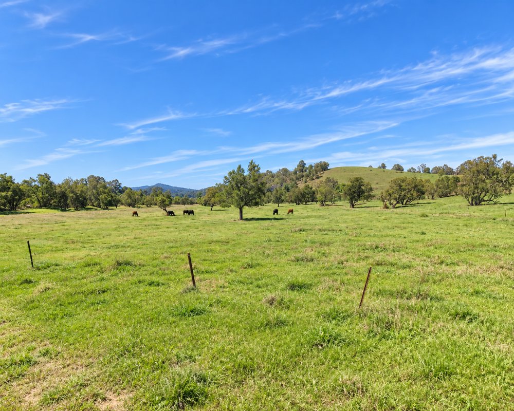
Winegrove is a small farming locality on the Clarence River, upstream of Copmanhurst and about 40 minutes from Grafton. A few cattle properties share a broad bend of the river.
Known For
- A beautiful reach of the Clarence
- Bass fishing and canoeing
- Remote farm country
Things To Do in Winegrove
The river is the reason to come. This is prime Australian bass water, and long canoe trips down the Clarence pass through here. Access to the bank is limited, so check where you can launch before setting out.
The Clarence Canoe and Kayak Trail
The trail covers more than 195 km of the Nymboida, Mann and Clarence rivers to Copmanhurst. The Gorge to Winegrove stretch, about 30 km, is Grade 2, and Winegrove to Copmanhurst, about 20 km, is Grade 1 and suits novices. Ask locally about river levels first.
Bass fishing
The upper Clarence is known for Australian bass, catch-and-release in the warmer months, and the deep pools between Winegrove and Copmanhurst are popular with canoe anglers.
Copmanhurst
Copmanhurst, 12 km downstream, is the last stop on the canoe trail, with a saddlery museum, a war memorial hall and the Rest Point Hotel’s deck looking over the river flats.
Where To Stay
Winegrove has farm camping on the river, and Copmanhurst has a hotel.
The Winegrove property, a working beef farm, has three riverfront campsites through Hipcamp; two take high-clearance 2WD and one is 4WD only, and there are no facilities, so come self-sufficient. At Copmanhurst, 12 km away, Copmanhurst Sport and Recreation Reserve is a low-cost campground with room for caravans and big rigs, toilets and showers, paid by phone with no bookings; dogs must be on a lead, and the Rest Point Hotel has rooms.
Eat & Drink
There are no shops. In Copmanhurst, the Rest Point Hotel runs the bar, bistro, general store and post office under one roof.
The Rest Point Hotel serves lunch daily and dinner Thursday to Sunday, but ring ahead in the quiet months. There is no fuel in Copmanhurst, so fill up and shop in Grafton.
History
Winegrove is in Bundjalung Country, north of the Clarence. Squatters took up runs along the upper Clarence from the 1840s, and big cattle properties still hold much of the river frontage; Winegrove was one of the river’s old crossing places.
Getting to Winegrove
From Grafton drive to Copmanhurst on the Clarence Way and continue upstream on local roads, partly unsealed.
Experiences
- Nature based
- Relaxation
- Rural/Country
Popular Activities
- Canoeing
- Caravan and Camping
- Fishing
- Kayaking
- Swimming
About Winegrove
- Locality: Rural locality
- Winegrove Postcode: 2460
- State: New South Wales
- Region: North Coast NSW
- Latitude: -29.54809
- Longitude: 152.68696
- Elevation: 58m
- Population: 40
- Median Income: $24544
- Area (Sq/km): 10.951
- Timezone: Australia/Sydney
