
Wyrallah, NSW
Wyrallah is a small village on the Wilsons River, ten minutes south of Lismore on the road to Coraki.
Known For
- The Wilsons River
- An old river port
- Tucki Tucki Nature Reserve
Things To Do in Wyrallah
In the steamer days Wyrallah was a port for the farms south of Lismore. Today it is a quiet village of houses and gardens above the river. A few minutes further south, Tucki Tucki Nature Reserve was planted by local people in the 1950s as a koala refuge and has a short walking track.
Tucki Tucki bora ring
About 5.5 km south on Wyrallah Road, behind the Tucki Tucki cemetery, is a bora ring, a ceremonial ground of the Bundjalung people at least 300 years old. It is a sacred site: stay on the edge, keep to the path and leave everything as you find it.
Tourist Drive 24
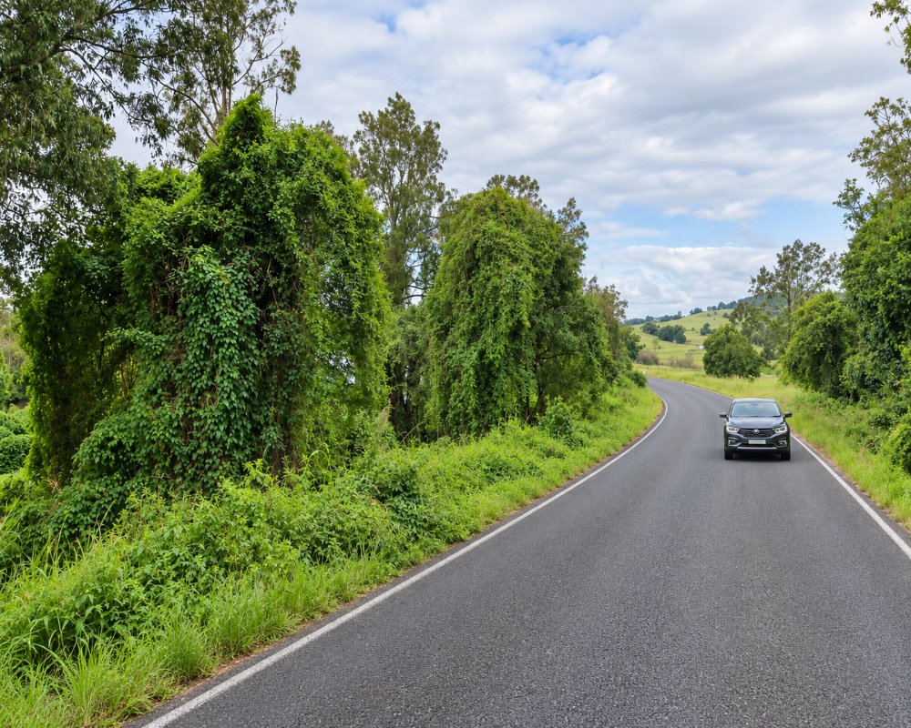
Wyrallah Road is part of Tourist Drive 24, the Coast to Country route linking Bangalow, Lismore and Woodburn along the Wilsons River, a quiet alternative to the motorway. The road is low-lying and closes in floods.
Tucki Tucki koala walk
Tucki Tucki Nature Reserve’s short track, about 10 to 15 minutes with some steep steps, loops through the trees local people planted for koalas in the 1950s. Look high in the forks of the gums, and come early or late in the day when the koalas move.
Where To Stay
There is no accommodation. Lismore has motels.
Lismore has motels such as the Karinga, Lismore Bounty and Lismore Gateway, and caravan sites at Lismore Centra Tourist Park (52 slab powered sites), Roadrunner Caravan Park in South Lismore and the Lismore Showground. Coraki and Woodburn, to the south, are the nearest river towns with services.
Eat & Drink
There are no shops. Eat in Lismore.
Bring a picnic for the river or for Tucki Tucki. Coraki and Woodburn, heading south, have pubs, takeaways and fuel.
History
The Widjabul people of the Bundjalung Nation are the Traditional Owners. Wyrallah grew in the steamer days as a port on the Wilsons River, then called the North Arm of the Richmond, and in 1865 it had the first large permanent sawmill on the Richmond, cutting timber from the Big Scrub.
Getting to Wyrallah
Follow Wyrallah Road south from Lismore for about ten minutes.
The road is sealed and fine for caravans, but low-lying.
Experiences
- Cultural
- Nature based
- Relaxation
- Rural/Country
Popular Activities
- Driving
- Fishing
- Kayaking
- Swimming
- Wildlife
About Wyrallah
- Locality: Rural locality
- Wyrallah Postcode: 2480
- State: New South Wales
- Region: North Coast NSW
- Latitude: -28.88817
- Longitude: 153.29976
- Elevation: 8m
- Population: 441
- Median Income: $31512
- Area (Sq/km): 20.479
- Timezone: Australia/Sydney
