
Goorianawa, NSW
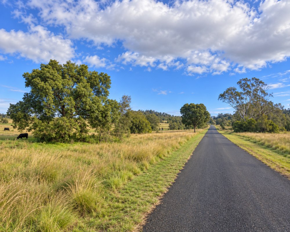
Goorianawa is a farming locality about 40 km north-west of Coonabarabran, on back roads between Baradine and the northern side of the Warrumbungle Range. Only a few dozen people live there.
Known For
- Farmland below the Warrumbungles
- Quiet back roads
- Close to the Pilliga
Things To Do in Goorianawa
There is no village, and nothing for visitors to stop for beyond the view of the range.
Guinema Road tourist drive
Guinema Road runs west from the Baradine Road below the northern escarpments of Warrumbungle National Park towards Goorianawa. The 2013 fires stripped the trees from the cliffs, exposing volcanic dykes, plugs and columns. Part of the drive is dirt, suitable for cars in dry weather only.
A historic run
Goorianawa was one of the first pastoral runs north of the Warrumbungles, taken up in the 1830s for James Walker of Wallerawang, and its outstation Barradean grew into Baradine. Today it is wheat, sheep and cattle country, and the homesteads are private.
Where To Stay
There is nowhere to stay. Baradine and Coonabarabran are the nearest towns.
In Baradine, about 26 km north, Camp Cypress, the not-for-profit park at the showground, has cabins, about 20 powered sites, a large unpowered area and a dump point, and there is a 24-hour public dump point at Lions Park. Coonabarabran, about 36 km east, has the John Oxley Caravan Park and several motels, and Camp Blackman in Warrumbungle National Park has 30 powered and 79 unpowered sites, hot showers and sealed carparks and suits caravans; book through NPWS. Take a caravan the sealed way via Coonabarabran rather than on the gravel roads.
Eat & Drink
There are no services.
Baradine has two pubs, cafes, an IGA and fuel, and Coonabarabran has the widest choice. Fill the tank and pack lunch before driving the back roads.
History
The district is Gamilaraay country, close to where Gamilaraay, Wiradjuri and Weilwan lands meet in the Warrumbungles. It stayed in large holdings and never grew a village, and the railway passed to the east through Bugaldie in 1923.
Getting to Goorianawa
Roads in the district are mostly gravel.
From Coonabarabran, take the sealed Baradine Road north-west for about 20 km, then turn west onto Guinema Road.
Experiences
- Rural/Country
- Self-Drive
Popular Activities
- Driving
- Sightseeing
About Goorianawa
- Locality: Rural locality
- Goorianawa Postcode: 2396
- State: New South Wales
- Region: Country NSW
- Latitude: -31.06739
- Longitude: 149.02002
- Elevation: 385m
- Population: 28
- Median Income: $31824
- Area (Sq/km): 210.439
- Timezone: Australia/Sydney
