
Croki, NSW
Croki is a tiny village on Jones Island, in the delta of the Manning River about 20 minutes east of Taree. River steamers once called at its wharf, and a punt crossed to Mitchells Island from 1887 until the 1970s.
Known For
- Manning River fishing
- A quiet riverside caravan park
- Dairy farms on the delta islands
Things To Do in Croki
Today Croki is a row of houses, a caravan park and a jetty on a broad reach of the river. People come to fish for flathead, bream and whiting, to launch a boat or simply to sit by the water. The village was flooded in the record flood of May 2025.
Fishing and the riverside reserve
The riverside reserve has a shaded picnic area with electric barbecues, toilets and a jetty that is popular for fishing. The north arm of the Manning holds bream, flathead, whiting and mulloway, and the river is wide and calm enough for kayaks.
The island loop
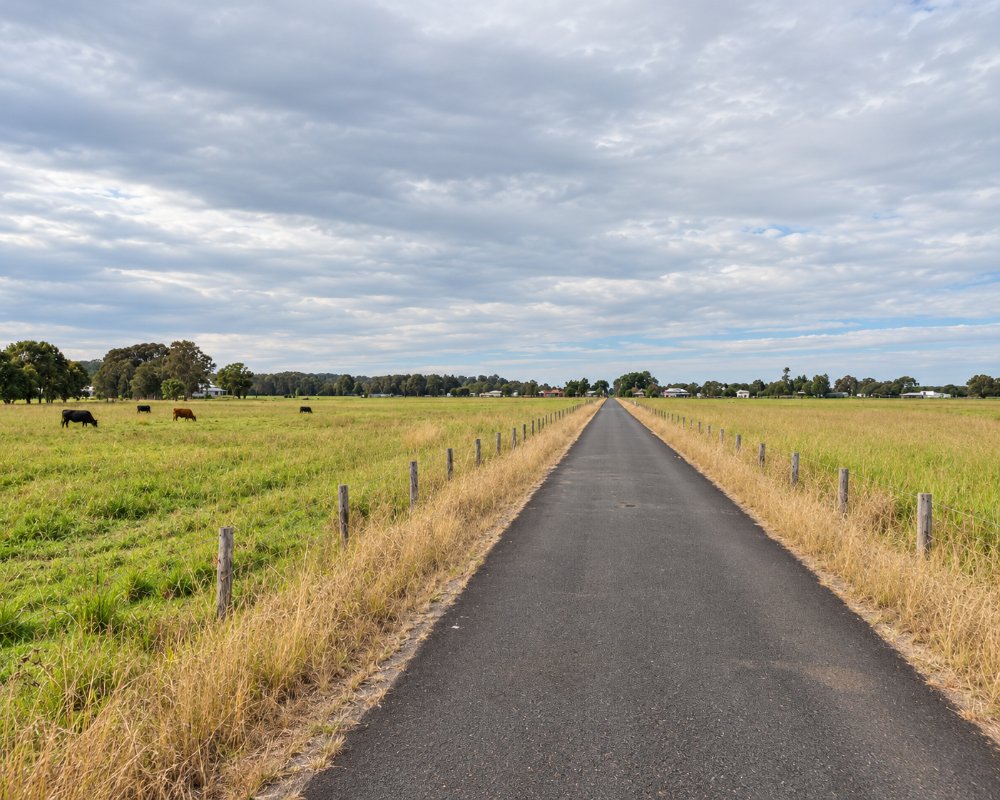
Croki is on Jones Island, one of the flat dairy islands of the Manning delta. Back roads cross to Mitchells Island and Oxley Island, with views north to the Brother Mountains, and Manning Point and its beach are at the end of the road on Mitchells Island.
Where To Stay
Croki has had a small riverside caravan park on Reid Street; check that it is open before you go. Harrington and Taree have other accommodation.
Harrington, about 17 km east, has the most choice: Discovery Parks – Harrington Beach and BIG4 Colonial Holiday Park, both with powered sites and cabins, and Oxley Anchorage Caravan Park at the river mouth, with drive-through sites and a saltwater pool. BIG4 Manning Point Holiday Park is on Mitchells Island across the river, and Taree, 16 km west, has motels. The road in from Coopernook is sealed and flat and suits caravans, but low-lying island roads go under in floods.
Eat & Drink
There are no shops. Coopernook has a pub, and Harrington is 15 minutes away.
The Coopernook Hotel, about 7 km away on the old highway, is a century-old country pub with a bistro, and it reopened after the May 2025 flood. Harrington has cafes, takeaways, fish and chips and a supermarket, and Taree has the full range. There is no fuel at Croki.
History
Croki is on the Country of the Biripi people, who fished and gathered food along the Manning estuary and its islands. Europeans took up the fertile delta islands for farming in the mid-1800s, and dairying became the main industry. A punt linked Croki with Mitchells Island from 1887 until the 1970s; in 1950 it capsized under a loaded truck. The village held river regattas in the early 1900s, and its low ground floods often.
Getting to Croki
Turn off the Pacific Highway at Coopernook or Cundletown and follow the signs to Jones Island and Croki.
From Sydney it is about 320 km on the Pacific Highway, dual carriageway and fine for caravans; from Coopernook it is about 7 km.
Experiences
- Nature based
- Relaxation
- Rural/Country
Popular Activities
- Caravan and Camping
- Driving
- Fishing
- Kayaking
- Swimming
About Croki
- Locality: Rural locality
- Croki Postcode: 2430
- State: New South Wales
- Region: North Coast NSW
- Latitude: -31.87033
- Longitude: 152.59504
- Elevation: 2m
- Population: 43
- Median Income: $25428
- Area (Sq/km): 1.37
- Timezone: Australia/Sydney
