
Kongorong, SA
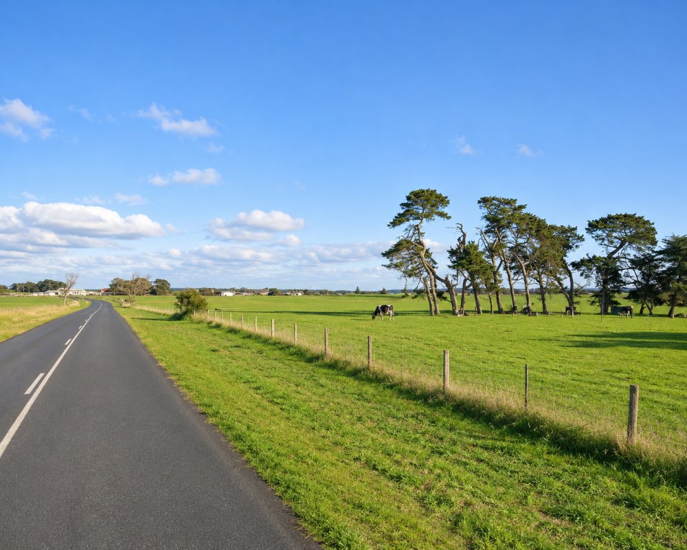
Kongorong is a township of about 220 people in dairy and sheep country south-west of Mount Gambier, roughly 25 kilometres from the city. A hall, a primary school and a football oval mark its centre.
It lies between Mount Gambier and the coastal settlements of Nene Valley and Carpenter Rocks, and there is very little here for a visitor beyond the green paddocks and pine forests.
Known For
- Dairy farms and pine plantations
- A quiet back road to the coast
- A small community hall and oval
Things To Do in Kongorong
Around the Township
Kongorong is a service point for the farms around it. The drive through it is pleasant, with stone walls, big gums and glimpses of Mount Schank.
Nearby Coast
Nene Valley, a shack settlement on a reef-sheltered beach, is 15 minutes south-west, and Carpenter Rocks is 20 minutes west.
Mount Schank
The cone of Mount Schank, one of the youngest volcanoes on the Limestone Coast, rises beside the Port MacDonnell road about 15 km east of Kongorong. A steep track climbs to the crater rim for views over the farmland to the sea, and a second track drops onto the crater floor.
Country Football
Kongorong is a football town, and the Hawks’ women’s side plays in the Limestone Coast Women’s Football League in spring, with games across the region. Watching a home game at the oval, with the canteen open, is the best way to see the township with its people in it.
Where To Stay
There is no accommodation or camping at Kongorong.
Mount Gambier has motels and caravan parks, and Carpenter Rocks has a donation camp at its reserve.
Kongorong is in the Southern Limestone Coast Council, the new name of the District Council of Grant. The council lists free camping areas along this stretch of coast, including the Carpenter Rocks Recreation Reserve and Brown Bay, and it has been moving some of its campsites to online booking, so check the council’s camping page before you go; sites are mostly for self-contained vans.
For a powered site, the nearest caravan parks are in Mount Gambier, about 25 km north-east, and at Port MacDonnell, about 30 km south-east, where the council’s foreshore tourist park sits just back from the beach. Mount Gambier also has the most motels.
Millicent, about 45 km north-west by the back roads, has the Millicent Hillview and Millicent Lakeside caravan parks and a low-cost RV park at the showground. Canunda National Park‘s southern end, reached from Carpenter Rocks, has bush campgrounds booked through National Parks and Wildlife Service SA.
Eat & Drink
Do not count on buying food here. Mount Gambier is 25 minutes away.
The nearest pubs are all a short drive away. The Rocks Tavern at Carpenter Rocks, about 20 km west, closed indefinitely in September 2026. The Bellum Hotel at Mount Schank, about 15 km east on the road to Port MacDonnell, is a country pub that hosts community lunches, and the Victoria Hotel at Port MacDonnell, about 30 km south-east, is the town pub of the crayfishing port. Check opening hours before you set out, as small coastal pubs can close early on quiet days.
Mount Gambier, about 25 km away, has the region’s full range of cafes, restaurants and supermarkets, and is the place to buy supplies and fuel before heading to the coast.
History
The township was named in 1922 after the surrounding hundred.
Getting to Kongorong
From Mount Gambier, take the Carpenter Rocks road west and turn south, or come up from Port MacDonnell by the back roads.
Experiences
- Active
- Caravan and Camping
- Rural/Country
- Self-Drive
Popular Activities
- Bush Walking
- Caravan and Camping
- Caving
- Diving
- Driving
- Fishing
- Sightseeing
About Kongorong
- Locality: Rural locality
- Kongorong Postcode: 5291
- State: South Australia
- Region: Limestone Coast
- Latitude: -37.89927
- Longitude: 140.55156
- Elevation: 21m
- Population: 193
- Median Income: $40144
- Area (Sq/km): 150.545
- Timezone: Australia/Adelaide
