
Tomerong, NSW
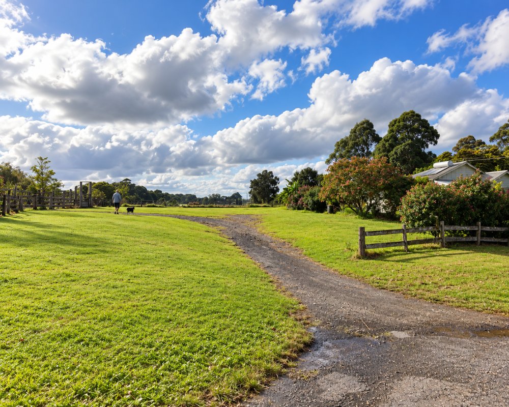
Tomerong is a small village in the forest just east of the Princes Highway, about 20 minutes south of Nowra and ten minutes from Huskisson. It was a timber town, and the highway used to run through its main street.
Known For
- Monthly village markets
- An old timber-town main street
- A short drive from Jervis Bay
Things To Do in Tomerong
The village has a hall, a school, a few old cottages and a store. Its markets at the School of Arts are among the most popular in the Shoalhaven: a Food Hall of produce, baking and coffee runs on the third Saturday of the month, and it grows into a bigger market with plants, crafts and makers a few times a year.
Tomerong School of Arts
The weatherboard hall on Hawken Road was built in 1926 and is still the centre of village life. The Food Hall runs from 8am to 1pm and sells bread, pastries, local produce, free-range eggs, sauces and jams, and the hall is also used for entertainment and community events.
The Woods Farm
On Bayly Road, this 40-acre bush farm has kangaroos, farm animals, a pool, cottages and glamping tents, plus a shop and cafe. It is a popular family stay and wedding venue about 10 minutes from the Jervis Bay beaches.
St Georges Basin
Island Point Road leaves the highway at the Tomerong roundabout and runs about 4 km south to St Georges Basin, a big shallow lake known for its flathead fishing, calm-water paddling and lakeside reserves.
Where To Stay
There are a few farm stays nearby. Huskisson has motels and holiday parks.
The Woods Farm Jervis Bay, on Bayly Road, has eight three-bedroom cottages and 18 glamping tents on 40 acres of bush, with a pool, farm animals and a cafe. There is no caravan park or free camping in the village.
The nearest caravan park is Tasman Holiday Parks Jervis Bay, at 785 Woollamia Road, Woollamia, about 10 km north-east, with powered and unpowered sites, waterfront villas, a pool, a private boat ramp and pontoon, and pet-friendly campsites. Huskisson, about 12 km away, has Holiday Haven Huskisson Beach (beachfront sites and cabins, dog-friendly sites, dump point) and Holiday Haven White Sands (dump point, no dogs). Around the basin, Palm Beach Caravan Park in Sanctuary Point has cabins and powered sites, and the Golf View Motel has budget rooms. Nowra, 20 km north, has motels and the council’s Nowra Showground camping for caravans and campervans, with a public dump point. The highway and Hawken Road are sealed and suit caravans.
Eat & Drink
Tomerong itself has little: the Food Hall on the third Saturday of the month is the main food event, The Woods Farm, which had a cafe and farm shop, has paused public day visits, and the service station on the Princes Highway sells fuel and snacks. For everyday shopping, St Georges Basin, about 5 km south, has an IGA supermarket with liquor, a cafe and a pharmacy. The Country Club St Georges Basin in Sanctuary Point, about 9 km away, serves lunch and dinner at On Point Kitchen. The Cooee Hotel at St Georges Basin is the nearest pub, Huskisson has many cafes and restaurants, and Nowra has full supermarkets.
The Food Hall fills the School of Arts on Hawken Road with artisan bread and pastries, local produce, free-range eggs, jams, sauces and coffee, and a larger market now runs there four times a year.
History
Tomerong is on Yuin country, the land of the Wandandian people, who spoke the Dhurga language, and the name is said to come from a local word meaning tall trees. The first land sale was held at Nowra on 8 May 1855, and settlement followed the bridge over Falls Creek on the south coast road. The Travellers Rest Hotel opened in 1857, the post office and school followed about 1862, a church came in 1877 and a store about 1882. Timber was the main industry, and the Clyde Shire headquarters was built here in 1908. The last sawmill closed in the mid-1980s, and the Princes Highway bypassed the village in 1995.
Getting to Tomerong
Take the Tomerong exit from the Princes Highway south of Falls Creek.
From Sydney it is about 180 km, around 2.5 hours, by the M1 Princes Motorway and the Princes Highway, all sealed and good for caravans. About 20 km south of Nowra, turn off at Hawken Road for the village, or at the Island Point Road roundabout for St Georges Basin. A highway upgrade between Jervis Bay Road and Hawken Road, with a new Hawken Road interchange, is being planned. The nearest station is Bomaderry, on the South Coast Line.
Experiences
- Farm/Station
- Historic/Heritage
- Rural/Country
Popular Activities
- Beach
- Driving
- Fishing
- Food and Wine
- Shopping
- Sightseeing
About Tomerong
- Locality: Urban locality
- Tomerong Postcode: 2540
- State: New South Wales
- Region: South Coast
- Latitude: -35.05203
- Longitude: 150.58707
- Elevation: 53m
- Population: 1065
- Median Income: $30056
- Area (Sq/km): 55.946
- Timezone: Australia/Sydney
