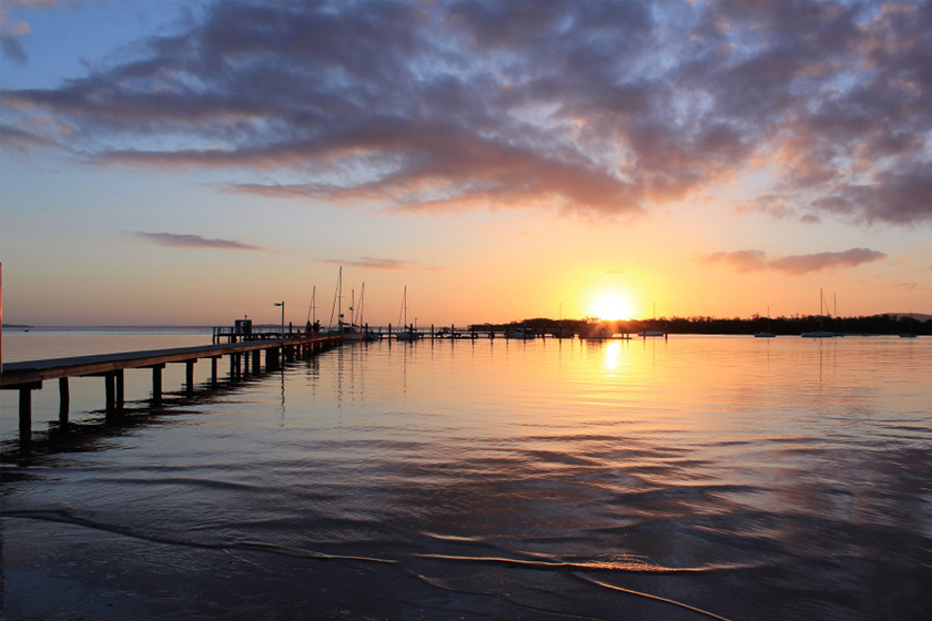
Soldiers Point, NSW
Lies on a peninsula that juts out from the southern shores of Port Stephens. Separates the eastern third of the port from the western two-thirds. Named after the Corporal’s Guard once stationed there. Site of Cromarty land grant. Formerly called Friendship Point
Where to stay?
About Soldiers Point
- Locality: Urban locality
- Soldiers Point Postcode: 2317
- State: New South Wales
- Region: Hunter
- Latitude: -32.71049
- Longitude: 152.06476
- Elevation: 22m
- Population: 1426
- Median Income: $31096
- Area (Sq/km): 1.086
- Timezone: Australia/Sydney
Accommodation In Soldiers Point
Discover some of the accommodation in and around Soldiers Point


