
Port Victoria, SA
Port Victoria is a small fishing and holiday town on the Spencer Gulf coast of Yorke Peninsula, about 195 km from Adelaide. It is known as the last of the windjammer ports. Until 1949, great square-rigged sailing ships anchored offshore to load wheat for Europe, long after sail had vanished from the rest of the world’s trade routes.
Known For
- The last of the windjammer ports
- A maritime museum on the jetty
- Shipwreck diving around Wardang Island
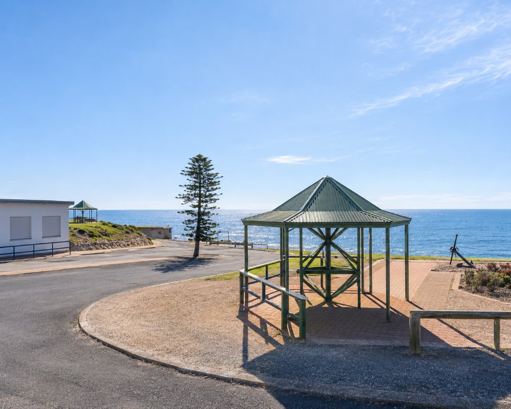
The town is tiny, with a pub, a store, a caravan park and a jetty looking out to Wardang Island, 10 km offshore. It is a quiet place for fishing and for watching the sun set over the gulf.
Things To Do
Maritime Museum
Housed in the old cargo shed at the foot of the jetty, the museum tells the story of the grain races, when sailing ships competed to make the fastest passage around Cape Horn to Britain. It has ship models, photographs, anchors and relics from local wrecks.
The Jetty
Built in 1878, the jetty was where ketches loaded bagged wheat to carry out to the ships at anchor. Today it is used for fishing, with garfish and tommy ruff caught. Snapper fishing is closed in Spencer Gulf until 30 June 2027 and squid fishing has been closed since May 2026, so check the current rules.
Geology Trail and Clifftop Walk
A walk along the low cliffs south of the jetty passes signs explaining rocks nearly two billion years old, among the oldest exposed on the peninsula.
Wardang Island Maritime Heritage Trail
Eight ships wrecked around Wardang Island between 1907 and 1975 make up the trail. Their remains lie in 2 to 10 metres of water and form an underwater heritage trail, reached by boat. The island itself belongs to the Aboriginal community at Point Pearce and cannot be visited without permission.
Fishing
The waters off Port Victoria are well regarded for King George whiting, garfish and blue swimmer crabs, and a boat ramp gives access to the gulf.
History
Port Victoria is on Narungga country. Point Pearce, about 10 km north, was established as an Aboriginal mission in 1868 and remains a Narungga community.
The coast was surveyed in 1839 from the schooner Victoria, which gave the anchorage its name. The town was proclaimed in 1876. From the 1880s to the 1940s, ships of the Finnish Erikson line and others called each summer to load wheat. The four-masted barques Pamir and Passat, which sailed from here in 1949, were the last commercial sailing ships to carry cargo around Cape Horn.
Where To Stay
There is a foreshore caravan park, a hotel-motel and a number of holiday houses.
The Gulfhaven Caravan Park is in Davies Terrace, and there is a dump point at the town oval with room for large vehicles. The nearest council bush campgrounds are Wauraltee Beach to the south and The Bamboos and The Gap to the north, where a permit bought online is needed.
More accommodation is available at Maitland, 25 km inland, and on the Copper Coast.
Gulfhaven Caravan Park bills itself as the town’s only beachfront accommodation. Its grassed powered sites have water and sullage connections, and the cabins range from budget units to deluxe cabins with spas and sea views; there are fish-cleaning tables, boat parking and barbecues, and dogs are allowed on sites but not in cabins.
Island View Holiday Apartments in Moorara Drive has six self-contained apartments sleeping four to six, with sea views, a fish-cleaning area, plenty of boat and car parking and a free laundry, and it suits fishing groups and families travelling together; bedding and towels are not included. The Port Victoria Hotel has motel rooms across the road from the jetty, and around twenty holiday houses in town are listed on the regional tourism site.
The town oval has a low-cost unpowered camping area beside the dump point, with toilets and drinking water. Wauraltee, the nearest council bush campground, is about 10 km south. The Port Rickaby Caravan Park, about 25 km down the coast, is the next park south, with cabins on the foreshore.
Eat & Drink
The hotel serves meals, and a kiosk and general store cover the basics. For more choice, head to Maitland or Moonta Bay.
The Port Victoria Hotel faces the jetty across the road, and its country pub menu, friendly service and Friday night raffles for the Royal Flying Doctor Service make it the social centre of town. The kiosk on the foreshore near the jetty sells takeaway and basic supplies and stocks the brochures for the Geology Trail.
Gill Fisheries, a local fishing business, sells wild-caught seafood from the gulf for those who would rather not catch their own.
For more choice, Maitland, about 21 km inland, has a cafe in the Yorke Collective on Robert Street on market days and the nearest supermarket, and Barley Stacks Wines, south of Maitland at South Kilkerran, serves pizzas and platters with its wines every day.
Getting There
From Adelaide, take the Yorke Highway to Ardrossan, turn inland to Maitland and continue west to the coast. The trip takes about two and a half hours.
Experiences
- Caravan and Camping
- Historic/Heritage
- Relaxation
- Self-Drive
Popular Activities
- Beach
- Bush Walking
- Caravan and Camping
- Diving
- Fishing
- Sightseeing
About Port Victoria
- Locality: Urban locality
- Port Victoria Postcode: 5573
- State: South Australia
- Region: Yorke Peninsula
- Latitude: -34.49641
- Longitude: 137.48310
- Elevation: 13m
- Timezone: Australia/Adelaide
Accommodation In Port Victoria
Discover some of the accommodation in and around Port Victoria
