
Port Sorell and Shearwater, TAS
Port Sorell, Shearwater and Hawley Beach are three adjoining seaside settlements on the western side of the Rubicon estuary, 20 km and about 18 minutes east of Devonport. Together they form one of the most popular beach holiday spots on the north coast.
More than 4,000 people live here, and the number swells in summer. The beaches are sheltered and shallow, which suits families, and the estuary is rich in birdlife. For travellers off the ferry it is an easy first night.
Known For
- Sheltered family beaches
- Birdlife on the Rubicon estuary
- Caravan parks close to the sand
Things To Do in Port Sorell
The Beaches
Freers Beach at Shearwater is a calm estuary beach for swimming and paddling. Hawley Beach, facing Bass Strait, has clear water, orange-lichened rocks and a foreshore reserve with barbecues and toilets.
Rubicon Estuary
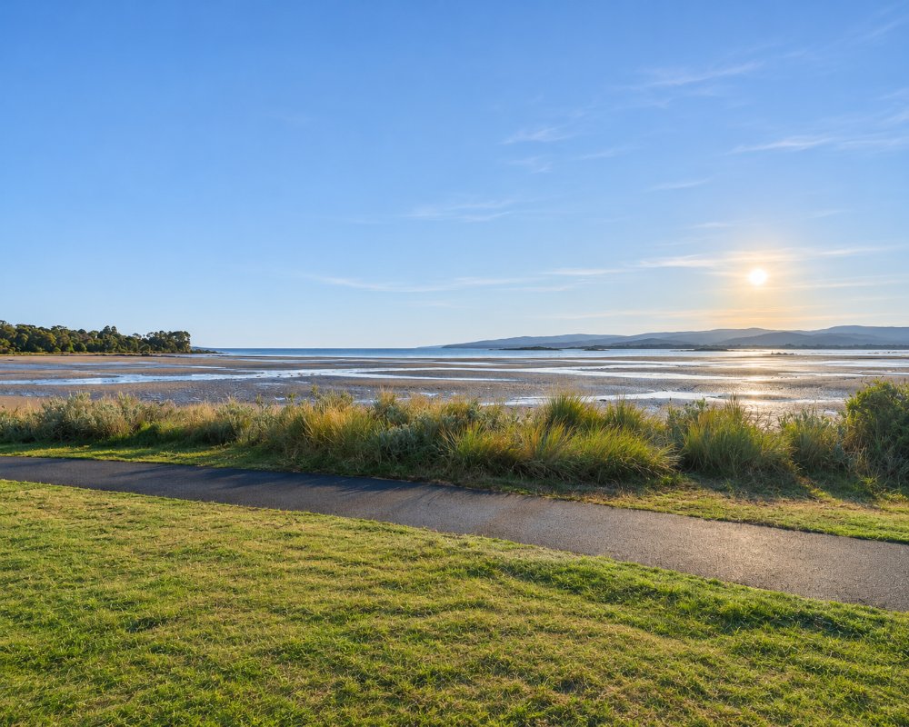
The tidal flats are an important feeding ground for wading birds, especially pied oystercatchers. At low tide you can walk out to Penguin and Rabbit islands, small islets close to shore.
Fishing and Boating
There is a jetty and pontoon at Port Sorell and boat ramps at Port Sorell and Hawley Beach. The Hawley ramp is exposed in northerly weather and limited at low tide.
Ghost Rock Wines
On the Port Sorell road at Northdown, this winery has a cellar door and eatery with views over the vines to Bass Strait. Bookings are advised for lunch.
Narawntapu National Park
Narawntapu National Park lies just across the estuary, but there is no bridge; it is reached by road around through the Frankford highway.
Where To Stay
There are caravan parks, apartments and many holiday houses.
The Port Sorell Lions Caravan Park in Meredith Street is a large foreshore park with powered sites, cabins and a dump point, close to the jetty and beach. Shearwater has a resort with apartments and a golf course. The shopping centre at Shearwater has a supermarket and fuel.
Eat & Drink
Ghost Rock has an eatery among the vines. Shearwater village has cafes, takeaway shops and a tavern.
History
The district was known to Aboriginal people as Panatana. A sealing and fishing port called Burgess grew up at the river mouth, and in 1822 it was renamed after Lieutenant-Governor William Sorell. In the 1840s it was the seat of government for the whole north-west coast, with a police magistrate and a post office. Bushfires and the rise of the port on the Mersey ended its importance, and it remained a quiet backwater until holiday shacks spread along the beaches in the twentieth century.
Getting to Port Sorell
From the Bass Highway east of Devonport, take Port Sorell Road. Launceston is 80 km and about an hour away. The roads are sealed and suit caravans.
Experiences
- Nature based
- Relaxation
Popular Activities
- Beach
- Fishing
- Surfing
- Swimming
About Port Sorell and Shearwater
- Locality: Urban locality
- Port Sorell and Shearwater Postcode: 7307
- State: Tasmania
- Region: North West Coast
- Latitude: -41.1664
- Longitude: 146.5502
- Elevation: 7m
- Timezone: Australia/Hobart
