
Port Gibbon, SA
Port Gibbon is a handful of houses on a low cliff above Spencer Gulf, a little over 20 kilometres south-west of Cowell. Ketches once loaded wheat from a jetty here; only a few stumps of it are left.
Travellers come for the cheap camping, the beach fishing and the chance of seeing sea lions.
Known For
- Australian sea lions at Point Gibbon
- Clifftop and beachside camping
- Beach fishing
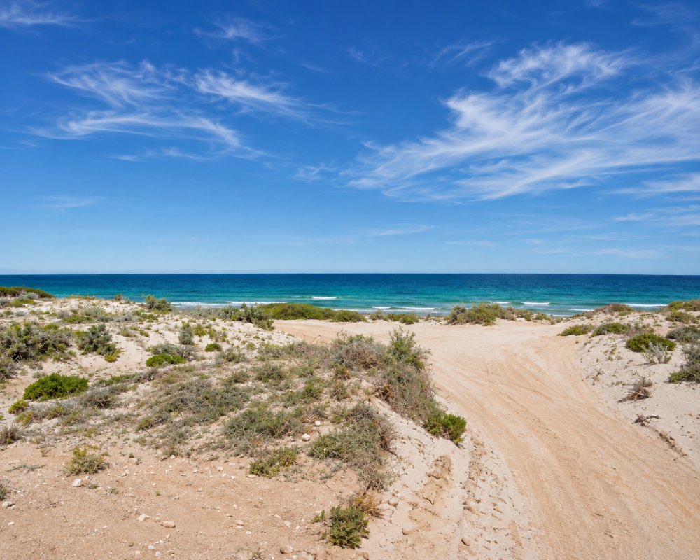
Things To Do in Port Gibbon
Point Gibbon
Five kilometres along a dirt road, a small group of Australian sea lions often rests on the rocks and sand below the point. Watch from a distance and do not walk between them and the water.
Beaches
Long beaches run both ways from the settlement, fished for whiting, salmon and flathead. A boat ramp suits small boats in calm weather.
Sandboarding at Point Gibbon
Big sand dunes rise behind the beach at Point Gibbon, and children love sliding down them, so pack a sandboard or a body board. Dolphins are often seen just offshore from the campground, as well as the sea lions on the point.
The Old Jetty
A stub of the 1915 jetty still stands on the beach and is used as a shelter. You can still see the cutting made through the red cliff to reach it. The cliffs along this coast, up to about 10 metres high, are made of old red alluvial clays and gravels.
Fishing Rules
Squid have been closed to fishing in Spencer Gulf since May 2026, and snapper are closed in the gulf until at least June 2027, so check the current rules before you go. Whiting, salmon and flathead can still be taken under the usual bag and size limits.
Where To Stay
Apart from camping, the only accommodation is two eco pods above the beach.
The council’s caravan area in the settlement has water, coin showers, a dump point and a playground for about $15 a night. Point Gibbon Campground has 15 unpowered sites with toilets, booked online for about $10 a night. Both take caravans in dry weather.
The camp in the settlement is the Jetty Campground. It has seven marked sites beside the toilets, coin showers and playground, and it is the best choice for big vans. Along the coast to the south, the council has three more camps: Point Gibbon itself, with 15 allocated beachfront sites, toilets, bins and wifi; the Dunes Campground behind it, which takes the overflow; and the Bush Campground, about a kilometre from the toilets, with sites that are not allocated. All of them are booked online before you arrive, and most stays are limited to 14 nights.
For more comfort, Eco Eyre has two architect-designed pods on Ocean Boulevard. Each sits above its own parking space with views over the beach, and has a king bed, kitchenette, barbecue, wifi and a bath for two. You need a car, and you should bring all your food.
Cowell, about 22 kilometres north-east, has the Cowell Foreshore Caravan Park and Harbour View Caravan Park, both with cabins and powered sites, rooms at the Franklin Harbour Hotel and the Commercial Hotel, and a council RV park for self-contained vehicles. Lucky Bay, about 40 kilometres away by road, has beachfront shacks to rent and a small council camp.
Eat & Drink
There are no shops. Bring supplies from Cowell.
There is nothing to buy at Port Gibbon, so stock up in Cowell, about 22 kilometres north-east. Its Foodland is open seven days and the town has 24-hour fuel. For a meal out, both Main Street hotels serve food: the Franklin Harbour Hotel has a bistro that focuses on local seafood, and the Commercial Hotel has decking for eating outside. The Salty Camel, a 1950s-style diner, does fish and chips with seafood from local fishers, Sassys Cafe does breakfasts and lunches, and the Pie Man’s pies make a good lunch for the beach. Buy ice, bait and drinking water in town before you drive out.
History
Port Gibbon is on Barngarla country; the Barngarla people’s native title over much of Eyre Peninsula was recognised in 2015. When farming spread through the district, private companies built chutes that sent bags of wheat down the cliffs to the beach. From there small boats carried them out to ships anchored off the coast. After local residents lobbied the government, a jetty and a cutting through the cliff were built in 1915.
The town was surveyed the next year and named after Captain J. H. Gibbon, the senior nautical warden of the South Australian Marine Board. The jetty handled grain until 1950 and was later pulled down, apart from the section on the beach. Point Gibbon, the headland to the south, was once called Point Price. The locality’s boundaries, which take in the shack settlement and the old government town, were drawn in 1998.
Getting to Port Gibbon
Turn off the Lincoln Highway south of Cowell. The road is sealed to the settlement and gravel beyond.
Experiences
- Caravan and Camping
- Nature based
- Relaxation
- Self-Drive
Popular Activities
- Beach
- Caravan and Camping
- Fishing
- Kayaking
- Swimming
About Port Gibbon
- Locality: Rural locality
- Port Gibbon Postcode: 5602
- State: South Australia
- Region: Eyre Peninsula
- Latitude: -33.79912
- Longitude: 136.79444
- Elevation: 21m
- Timezone: Australia/Adelaide
