
Old Erowal Bay, NSW
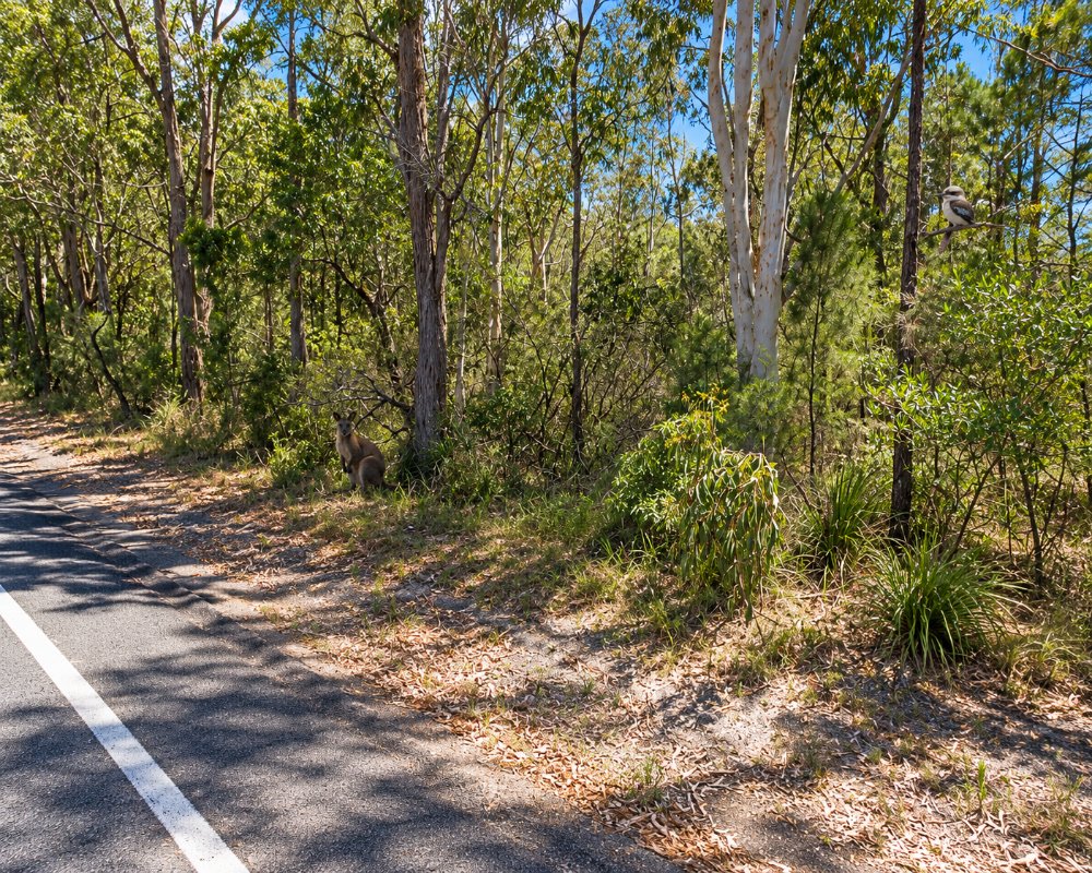
Old Erowal Bay is a handful of streets on the shore of St Georges Basin, next to Erowal Bay and surrounded by bush.
Known For
- A peaceful lakeside setting
- Fishing and kayaking on the basin
- Close to Jervis Bay
Things To Do at Old Erowal Bay
It is one of the smallest and quietest of the basin villages, with no shops. The attraction is a holiday house near the water, a kayak and a fishing rod, with the beaches of Jervis Bay and Booderee National Park ten minutes away.
The Wool Road
The road through the village is one of the oldest in the Shoalhaven. Convict gangs cut it in 1841 to carry wool from Braidwood and the tablelands down to Jervis Bay. A storm in June 2024 washed out a culvert here, and the road was rebuilt with new concrete box culverts and fully reopened in February 2026.
The Basin Walk at Sanctuary Point
A few minutes’ drive west, a foreshore walk of about 40 minutes links Palm Beach Reserve and Paradise Beach Reserve in Sanctuary Point, with picnic spots, jetties and views back across the basin.
Where To Stay
A few holiday houses are available.
There is no caravan park, motel, shop or free camping in the village.
Palm Beach Caravan Park, at 103-105 Ethel Street, Sanctuary Point, about 4 km away, is the nearest park, with ensuite cabins, powered van and small-motorhome sites, tent sites, a pool and a camp kitchen, and it allows pets on sites. Bream Beach Caravan Park, about 5 km south-east, has cabins and basic bush camping on the basin and takes no pets. Huskisson, about 9 km north-east, has Holiday Haven Huskisson Beach (dog-friendly, dump point) and Holiday Haven White Sands (dump point, no dogs), and Tasman Holiday Parks Jervis Bay at Woollamia has powered sites and villas. The Golf View Motel in Sanctuary Point has budget rooms. The nearest public dump point outside the parks is at Nowra Showground, about 30 km away.
Eat & Drink
Old Erowal Bay has no shops or cafes, and nothing is within walking distance, so bring supplies. Sanctuary Point, about 4 km west, has an IGA, a bakery and takeaways on Paradise Beach Road and a service station on Larmer Avenue, and The Country Club St Georges Basin there serves lunch and dinner at On Point Kitchen. Vincentia, about 5 km north-east, has larger supermarkets, cafes and fuel, and Huskisson has the pub and the area’s best range of cafes and restaurants.
History
The village is on Yuin country, beside the basin the Dhurga-speaking people called Bherwherree. Its name goes back to the Erowal estate, a 2,560-acre grant made to Lieutenant John Lamb RN in 1830 and worked by convicts under his manager David Blair. The Wool Road, cut in 1841, ran through here on its way to the port at South Huskisson, and the first cottages grew up along it. The name Old Erowal Bay seems to have marked it off from the newer Erowal Bay subdivision to the east after the war.
Getting to Old Erowal Bay
Follow the signs from Naval College Road, south of Vincentia.
From Sydney it is about 200 km, around 2 hours 45 minutes, by the M1 and the Princes Highway to Falls Creek, then Jervis Bay Road towards Huskisson; turn south onto Naval College Road, then west onto The Wool Road. From the south, leave the highway at Island Point Road and follow The Wool Road east through St Georges Basin and Sanctuary Point. Until early 2027 there is no right turn into Jervis Bay Road at the Falls Creek flyover. The roads are sealed and suit caravans.
Experiences
- Historic/Heritage
- Nature based
- Relaxation
Popular Activities
- Bird Watching
- Fishing
- Kayaking
- National Park
- Sailing
- Swimming
About Old Erowal Bay
- Locality: Urban locality
- Old Erowal Bay Postcode: 2540
- State: New South Wales
- Region: South Coast
- Latitude: -35.08437
- Longitude: 150.6465
- Elevation: 20m
- Population: 1038
- Median Income: $24648
- Area (Sq/km): 0.793
- Timezone: Australia/Sydney
