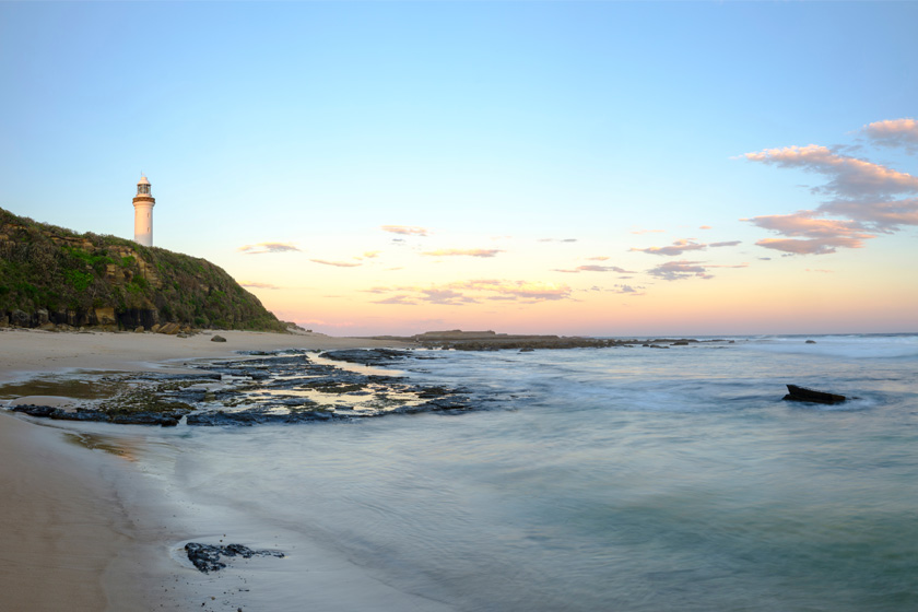
Norah Head, NSW
Norah Head is a ten minute drive north of The Entrance via Wilfred Barrett
drive or a ten minute drive east of Toukley via Main Road. Norah Head is situated on a headland with many lookouts and beaches. The most well known being Soldiers Beach, which is patrolled from the October long weekend to Easter. There are a few places to sit and relax with a picnic or facilities for a bbq meal, while taking in the view from the headland. Norah Head lighthouse is open regularly and allows visitors in to climb to the top and enjoy the view.
A small shopping area includes 3 restaurants, a dive shop as well as a
selection of smaller shops to provide the basic necessities.
Nearest Airport: Sydney Kingsford Smith Airport, Mascot
Where to stay?
About Norah Head
- Locality: Suburb
- Norah Head Postcode: 2263
- State: New South Wales
- Region: Central Coast
- Latitude: -33.27979
- Longitude: 151.55505
- Elevation: 21m
- Population: 1129
- Median Income: $37180
- Area (Sq/km): 4.25
- Timezone: Australia/Sydney
Accommodation In Norah Head
Discover some of the accommodation in and around Norah Head