
Nildottie and Ngaut Ngaut, SA
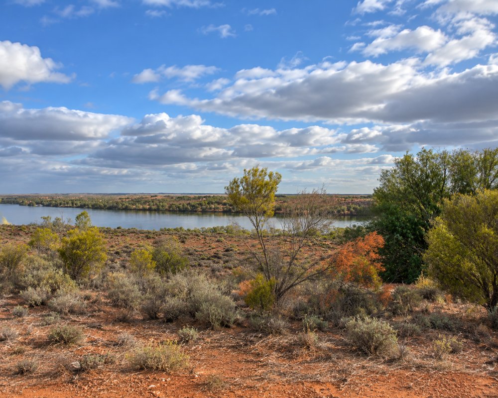
Nildottie is a small farming and shack settlement on the east bank of the Murray, about 12 kilometres south of Swan Reach on the road to Mannum. Orchards and vegetable blocks line the river flats beneath tall cliffs.
It lies between Swan Reach and Walker Flat, both of which have a ferry and somewhere to buy supplies. What sets Nildottie apart is the cliff shelter at Ngaut Ngaut, one of the most important archaeological sites in Australia.
Known For
- Ngaut Ngaut Conservation Park and its rock engravings
- Guided tours with Aboriginal custodians
- Quiet river landings and golden cliffs
Things To Do in Nildottie
Ngaut Ngaut Conservation Park
In 1929 Herbert Hale and Norman Tindale of the South Australian Museum dug into the floor of a rock shelter here, then known as Devon Downs. It was the first scientific excavation of a layered site in Australia, and it showed that Aboriginal people had lived on the river for thousands of years and that their tools and diet had changed over time. The cliff face also carries engravings.
The park is managed jointly by the state and the Mannum Aboriginal Community Association, and it can be entered only on a guided tour booked in advance with the association. Tours follow a boardwalk and stairs up the cliff and explain the engravings, the excavation and the stories of the Nganguraku people. Contact details are on the parks service website; ring well ahead, as tours do not run every day.
The River
Greenways Landing, just upstream, is a spot to launch a small boat or fish from the bank. The drive along this side of the river, with the cliffs on one hand and the water on the other, is one of the best on the Murray.
Where To Stay
There is no accommodation or camping in the conservation park, and no caravan park at Nildottie.
Punyelroo Caravan Park, a few kilometres north, has cabins and powered sites. Camping directories list free riverside camping at Greenways Landing and a bush campground at Big Bend, and Tenbury Hunter Reserve at Swan Reach is a free camp with a dump point.
Eat & Drink
The Nildottie general store was reported closed in 2024. Buy food and fuel at Swan Reach or Mannum.
History
This is Nganguraku country. The name Ngaut Ngaut comes from an ancestral being of the river people.
Getting to Nildottie
Nildottie is on the sealed east bank road between Mannum and Swan Reach, about two hours from Adelaide.
Experiences
- Rural/Country
- Self-Drive
Popular Activities
- Driving
- Sightseeing
About Nildottie and Ngaut Ngaut
- Locality: Rural locality
- Nildottie and Ngaut Ngaut Postcode: 5238
- State: South Australia
- Region: Murray River Lakes and Coorong
- Latitude: -34.68333
- Longitude: 139.65
- Elevation: 52m
- Timezone: Australia/Adelaide
