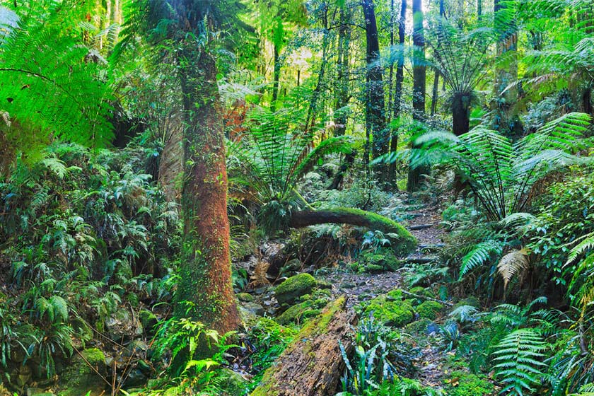
Mount Irvine, NSW
In 1897 Charles Robert Scrivener, a staff surveyor of the Lands Department, was given the job of surveying a road to the end of the Mount Wilson spur.He described the land there and located an approach across Bowen’s creek, to Bell‘s Line of Road near Bilpin. He suggested that it should be proclaimed
a national reserve, but instead it was thrown open for settlement and called Mt. Irvine. The men who took it up were C.R. Scrivener’s son, Charles P. Scrivener and two of his friends, Harold Morley and Basil Knight-Brown. These three young men had graduated with credit from the Hawkesbury Agricultural College in 1897, the first year of Mr George Valder’s principalship. They each selected 10 hectares, and developed orchards there. Their chief problem was access, and for twelve years each worked on the road to Mount Irvine for one month each year.
Nearest Airport: Sydney
Where to stay?
About Mount Irvine
- Locality: Rural locality
- Mount Irvine Postcode: 2786
- State: New South Wales
- Region: Blue Mountains
- Latitude: -33.49215
- Longitude: 150.4453
- Elevation: 851m
- Population: 28
- Median Income: $25324
- Area (Sq/km): 9.362
- Timezone: Australia/Sydney