
Mirima National Park, WA
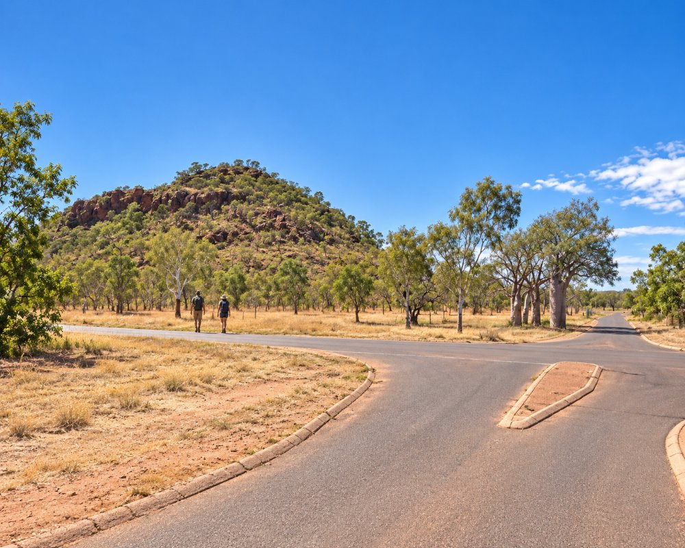
Mirima National Park, often called Hidden Valley, is a small national park right on the edge of Kununurra in the East Kimberley. Its banded sandstone domes and gullies, carved over hundreds of millions of years, look like a smaller version of the Bungle Bungle Range and glow red and orange in the early morning and late afternoon.
This is Miriwoong country, and ceremonies are still held at places in the park. Short walks lead through narrow gaps in the rock to lookouts over Kununurra and the Ord Valley, past rock art and plants used by the Miriwoong people. Being only a couple of kilometres from town, it is an easy place to visit at sunrise or sunset.
Known For
- Striped sandstone domes like a small Bungle Bungle Range
- Easy short walks to lookouts over Kununurra and the Ord Valley
- Aboriginal rock art and trails with Miriwoong names
Things To Do in Mirima National Park
Derdbe-gerring Banan Lookout Trail
This short, steep trail climbs stairs to a lookout over Kununurra, the Ord Valley and the sandstone ranges. It is about 1 km return and is the most popular sunset walk in the park.
Demboong Banan Trail
The Demboong Banan Trail passes through a gap in the sandstone to a lookout over a hidden valley. It is under 1 km return and takes about half an hour.
Gerliwany-gerring Banan Trail
This 2.2 km return trail wanders through savannah woodland at the foot of the ranges, and is a good walk for spotting wallabies and birds in the cooler part of the day.
Yoorrnging Geranyem Banan rock art trail
Opened in 2023, this is the longest walk in the park, a loop of about 3.5 km that visits rock art sites. It is rated hard, with ladders, stairs and climbs, so allow plenty of time and carry water.
Looking at Plants Trail
A 400 m wheelchair-friendly boardwalk loop explains how the Miriwoong people used plants for food, medicine and tools.
Wildlife and photography
Short-eared rock wallabies, finches and white-quilled rock pigeons live in the park. Photographers love the way the striped rock glows at sunrise and sunset.
Where To Stay
There is no camping in Mirima National Park, but Kununurra is just minutes away with several caravan parks and plenty of accommodation, from motels to holiday units. Options include several caravan parks close to the park and others on the shores of Lake Kununurra, all within a few minutes of the entrance.
The park road is sealed and suitable for all vehicles, including caravans. It is open all year and has picnic shelters, barbecues and toilets. A park entry fee applies per vehicle, and park passes are accepted. Pets are not allowed, and the park is in the Kununurra crocodile control zone.
Eat & Drink
There is nowhere to eat in the park, but picnic shelters with barbecues make it a nice spot for breakfast after a sunrise walk. Kununurra has plenty of choice a few minutes away, including Wild Mango Café and First Nations-owned Blak Tapas in town, the Zebra Rock Bar & Restaurant at Hotel Kununurra, the Hoochery Distillery, which makes award-winning rum, and Ivanhoe Cafe on a farm under mango trees.
History
The sandstone of Mirima formed from sediments laid down around 350 million years ago, later lifted and worn into the domes and gullies seen today. The Miriwoong people have lived in this country for thousands of years. The national park was declared in 1982 and covers about 2,068 hectares. Visitor facilities were improved over the years, and the new rock art trail opened in April 2023.
Getting to Mirima National Park
Mirima National Park is about 2 km from the centre of Kununurra. From town, follow Barringtonia Avenue and then Hidden Valley Road to the park entrance. Kununurra airport has flights from Perth, Broome and Darwin.
The park is open all year. April to September is the most comfortable time, and early morning or late afternoon walks are best at any time of year. Carry water on every walk.
Experiences
- Eco Tourism
- Nature based
Popular Activities
- Bush Walking
- National Park
- Wildlife
About Mirima National Park
- Locality: Rural locality
- Mirima National Park Postcode: 6743
- State: Western Australia
- Region: Broome & the North West
- Latitude: -15.7686
- Longitude: 128.7533
- Timezone: Australia/Perth
