
Manangatang, VIC
Manangatang is a small wheat town in the Mallee, about 70 km north-west of Swan Hill and around 400 km from Melbourne. Its silos rise above flat farmland, and its old railway station, racecourse and pub tell the story of a soldier settlement district built on wheat.
Once a year the town of a few hundred people swells to thousands for the Manangatang Cup.
Known For
- The Manangatang Cup picnic races
- A classic Mallee pub
- Lake Tyrrell and Sea Lake silo art nearby
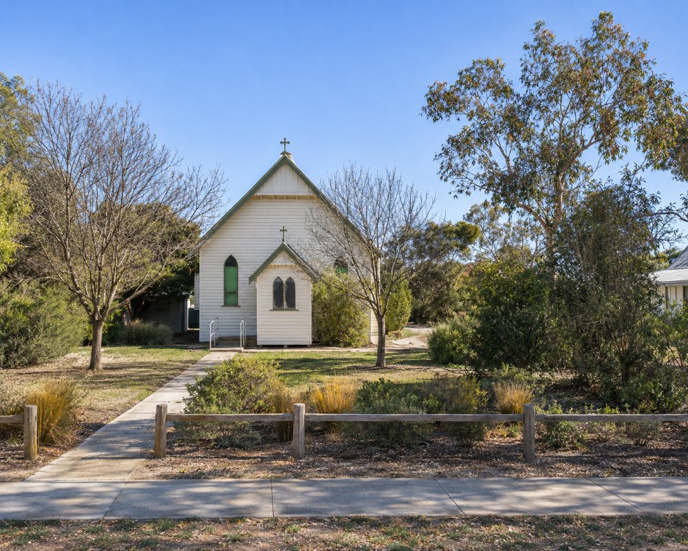
Things To Do in Manangatang
Manangatang Cup
The Manangatang Cup picnic races, held in October, are one of the great country race days, drawing 2,000 to 3,000 people to a town of about 300. The races celebrated their centenary in 2017.
Railway Station and Racecourse
The heritage-listed railway station of 1916 and the racecourse of 1924, beside the golf course, are reminders of the town’s early days.
Lake Tyrrell and Sea Lake
Lake Tyrrell, Victoria’s largest salt lake, is about 20 km south, famous for its reflections at sunset and sunrise, and the silos at Sea Lake are painted with silo art.
Nearby
Robinvale and the Murray are about 45 minutes north, Swan Hill about 50 minutes south-east, and Ouyen about an hour west.
Local Tips
Services are limited, so fill up with fuel and supplies before you go. On Cup day, accommodation books out well ahead.
When To Visit
October brings the Cup, and autumn and winter are mild and sunny. Summer is very hot.
Mallee Wheat Country
The farms around Manangatang grow wheat, barley and other grains on light Mallee soils, and at harvest time, from late spring into summer, trucks queue at the silos.
Racing History
The Manangatang racecourse, built in 1924, has hosted the Cup for more than a century, and on race day the town fills with picnickers in their best outfits.
Where To Stay
For caravans and campers, the Manangatang Traveller’s Rest on Wattle Street has power, water, a shower, a dump point and a kitchen shelter; pay by donation at the pub opposite.
Beyond the traveller’s rest, Manangatang has little formal accommodation, so on Cup weekend many racegoers stay in Swan Hill, Robinvale or Sea Lake and drive in, and rooms go early. For a quiet riverside night, the Murray River bends of Murray-Kulkyne Park, between Hattah and Robinvale, have free bush camping where dogs on a lead and generators are allowed; the access tracks are sandy and can turn slippery after rain. The campgrounds at Lake Hattah and Lake Mournpall in Hattah-Kulkyne National Park have toilets and fireplaces, take caravans and must be booked in advance, but dogs are not allowed.
To the west, Ouyen has the Hilltop Motel, the Ouyen Motel, pub rooms at the Victoria Hotel and lakeside camping at Ouyen Lake, plus fuel around the clock at an unmanned outlet on Oke Street. Fill up in Swan Hill, Robinvale or Ouyen before the long Mallee stretches, and carry drinking water if you plan to camp, as services are far apart.
Eat & Drink
The Manangatang Hotel, just off the Mallee Highway, has a wood heater, a jukebox and big meals, including its Manang Special pizza; check opening hours.
Food in Manangatang is limited, and there is no cafe in town, so plan your coffee stops around the bigger towns. To the west, Ouyen has the Ouyen Mallee Bakery for its famous vanilla slice and fresh bread, Brother Jacks for cooked breakfasts and coffee, and the Victoria Hotel for generous pub dinners, all on or near Oke Street. Swan Hill and Robinvale, to the south-east and north, have the widest choice of cafes, pubs and supermarkets in the district. Carry snacks and water on the long Mallee roads, as there are few places to stop between towns.
History
This is the Country of the Wergaia and Wadi Wadi peoples; the name may mean a waterhole. Town lots were sold in 1912, the railway made Manangatang a terminus from about 1914 until it was extended to Robinvale in 1924, and many soldier settlers took up farms after the First World War.
Getting to Manangatang
Manangatang is about 405 km north-west of Melbourne, around 4 hours 45 minutes’ drive via the Calder Highway and Sea Lake, or via Swan Hill. There is no regular public transport.
Experiences
- Historic/Heritage
- Remote
- Rural/Country
- Self-Drive
Popular Activities
- Bird Watching
- Caravan and Camping
- Driving
- Sightseeing
About Manangatang
- Locality: Urban locality
- Manangatang Postcode: 3546
- State: Victoria
- Region: The Murray
- Latitude: -35.0546
- Longitude: 142.8829
- Elevation: 55m
- Timezone: Australia/Melbourne
