
Jarrahdale, WA
Jarrahdale is a historic timber town in the forest of the Darling Range, about 61 km south-east of Perth and around an hour’s drive. Founded in 1872, it was Western Australia’s first major timber-milling town, and in 1997 it was classified by the National Trust as a heritage town.
Today it’s a peaceful village surrounded by jarrah forest, popular with walkers, mountain bikers and diners heading to one of the state’s best winery restaurants. About 1,200 people live in the locality, in the Shire of Serpentine Jarrahdale, on Noongar country.
Known For
- WA’s first major timber town
- Forest trails, including the Munda Biddi
- Millbrook Winery
- The Jarrahdale Log Chop
Things To Do in Jarrahdale
Heritage Precinct
The Jarrahdale Heritage Park and mill precinct, cared for by the National Trust since 2001, recall the town’s timber days, and Heritage Sawmillers still runs the last 1930s mill on Gooralong Brook. St Paul’s Church dates from 1896, and the Bruno Gianatti Hall was built in 1914 as the Mechanics Institute.
Old Post Office Museum
The Jarrahdale Heritage Society’s museum on Jarrahdale Road opens on weekends and public holidays, except from mid-December to February, and runs ghost walks.
Trails
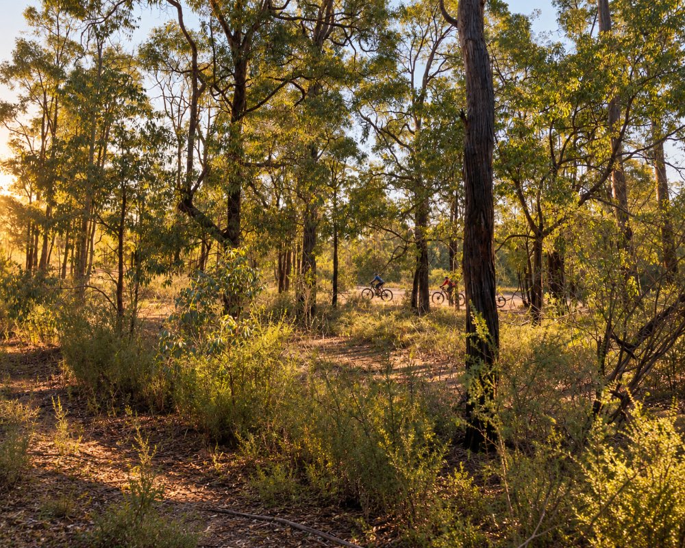
Jarrahdale is a trail town on the Munda Biddi mountain bike trail. Langford Park and Gooralong Park have picnic areas and bike trails, and the 7.9 km Kitty’s Gorge walk leads to Serpentine Falls.
Serpentine Dam
Serpentine Dam on Kingsbury Drive has lookouts, picnic lawns and barbecues.
Jarrahdale Log Chop
The Jarrahdale Log Chop and Lions County Fair, an axemen’s carnival held since the 1970s, fills the oval in late September or early October.
Where To Stay
The Jarrahdale RV stop on Millars Road takes fully self-contained vehicles for up to three nights and has a dump point; it’s a gravel area, with water and fuel nearby and toilets in town. There are also short-stay rentals around the district. Roads are sealed from Byford and Mundijong, but hilly and winding east of town.
Eat & Drink
Millbrook Winery on Old Chestnut Lane is one of Western Australia’s finest winery restaurants, named Gourmet Traveller WA’s Restaurant of the Year for 2024 and given two stars in the WA Good Food Guide for 2026. The Fogarty family’s estate serves lunch only, from Thursday to Monday, in an upstairs room over a lake, vines and gardens, with an à la carte menu built on its kitchen garden; on No Waste Mondays a four-course shared lunch uses the weekend’s leftovers. Bookings are essential, and the cellar door opens on the same days.
The Jarrahdale Tavern, opened in 1886 as the Murray Arms for the mill workers, is a country pub with hearty food and platters, log fires, verandahs, live music and a dog-friendly beer garden beside a fenced playground, and it opens seven days. The heritage general store sells refreshments and groceries, and Bistro by the Dam at Serpentine Dam is about 10 minutes away.
History
A sandalwood track followed Gooralong Brook in the 1830s. In 1871 a Victorian syndicate won the timber concession, the mill started around 1872 and the Rockingham Jarrah Timber Company took over in 1874, sending jarrah by rail to Rockingham for export around the world. The Murray Arms hotel, now the tavern, opened in 1886. A bushfire destroyed the old town in 1895, and it was rebuilt further west.
Italian prisoners of war were held here in World War II. Serpentine Dam flooded old mill sites in the late 1950s, bauxite mining followed in the 1960s, and the last mill closed in 1997, the same year the town was classified by the National Trust.
Getting to Jarrahdale
Jarrahdale is about 61 km from Perth, around an hour’s drive via the Tonkin Highway, Thomas Road and Jarrahdale Road. Bus 262 runs to Byford Station on school days and some Saturdays.
Winter and spring bring green forest, flowing brooks and wildflowers. Summer brings bushfire risk and some trail closures.
Experiences
- Historic/Heritage
- Rural/Country
Popular Activities
- Driving
- Sightseeing
About Jarrahdale
- Locality: Rural locality
- Jarrahdale Postcode: 6124
- State: Western Australia
- Region: Perth & surrounds
- Latitude: -32.33832
- Longitude: 116.07249
- Elevation: 255m
- Population: 1192
- Median Income: $37440
- Area (Sq/km): 256.387
- Timezone: Australia/Perth
