
Freemans Waterhole, NSW
Freemans Waterhole is a small settlement at a road junction on the western edge of the Lake Macquarie district, about ten minutes west of Toronto. Many people pass through on the way from the M1 to the vineyards around Cessnock.
Known For
- A crossroads on the way to wine country
- Forest roads into the northern Watagans
- A handy fuel and food stop
There are two service stations, an old milk bar and a scatter of houses and rural blocks. It is a place to stop, not to stay.
Things To Do in Freemans Waterhole
Heaton State Forest and the Watagans
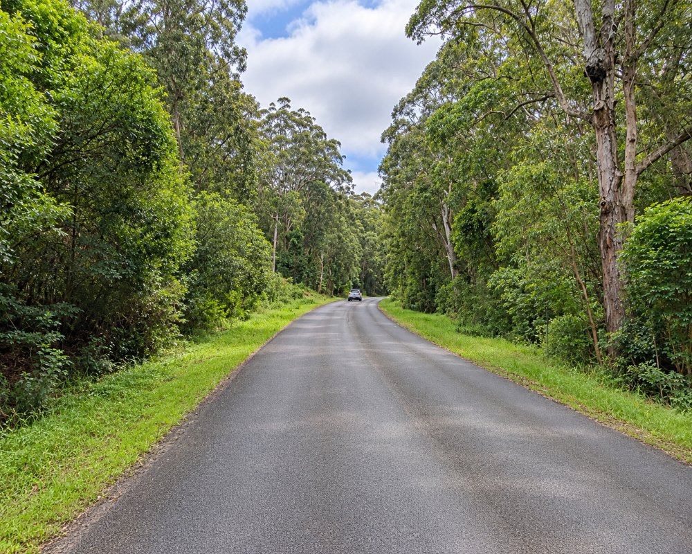
Mount Faulk Road, which leaves Freemans Drive about 5 km south of the junction, climbs to Heaton Road and the lookouts on the range, with wide views over the Hunter Valley, the lake and the coast. Walking tracks, picnic areas and bush camps are spread along the forest roads. The roads are unsealed.
The old rest stop
Before the freeway opened in 1987, this was the main stop on the old Gap Road, renamed Freemans Drive in 1975. It had picnic grounds, an information centre, a music shell, a mining museum, tame wallabies and a steam locomotive. Almost all of it has gone, but the Oak milk bar of 1967, with its chequered floor, survives between the two service stations; it was last reported trading in 2025, so check first.
Watagans National Park
The park’s Monkey Face lookout, Gap Creek Falls and the Boarding House Dam rainforest picnic area are reached via Cooranbong, Martinsville and Watagan Road, about 30-40 minutes away. Its two small campgrounds, Gap Creek and Bangalow, are tent sites with a $6 booking fee, and NPWS says there is no long-vehicle access.
Where To Stay
Apart from bush camping in the forest there is nothing here. Stay in Toronto or in wine country.
The Forestry Corporation’s free campgrounds are closest: Watagan HQ in Heaton State Forest is a grassy open site on the Great North Walk, and the Casuarina Camping Area in Olney State Forest takes caravans and trailers. Both are on gravel roads, so check closures first; dogs are allowed in state forests but not in the national park. For powered sites, Teralba Lakeside Caravan Park, Paradise Palms at Carey Bay and the council’s Wangi Point Holiday Park are on the lake, and Cessnock Showground takes self-contained vans.
Eat & Drink
The roadhouse does takeaway food and coffee.
This is the last fuel and food before the Watagans, so stock up here or at Cooranbong, about 10 km south. For a proper meal, the Toronto Hotel’s lake-view bistro is about 15 minutes east, and Teralba’s Great Northern Hotel and the Holmesville Hotel serve lunch and dinner every day.
History
This is Awabakal country, close to Darkinjung lands to the south. The name goes back to the waterhole used by travellers on the old Gap Road, possibly linked to James and Mary Ann Freeman, cattle graziers near Wyee in 1860; it was spelled Freemans Waterholes until 2001. Heatonville, a timber settlement, lay just south of the Gap. Sunnywood School opened here in 1953 in the relocated Mandalong school building and closed in 1980, and traffic fell away after the F3 Freeway opened in 1987.
Getting to Freemans Waterhole
Leave the M1 at the Toronto and Cessnock exit. Freemans Waterhole is five minutes west, and Cessnock is another 25 minutes.
Northbound, the Freemans Waterhole exit leads straight onto Freemans Drive; from Newcastle, use the Awaba (Palmers Road) exit. Freemans Drive continues north-west to Kurri Kurri and Cessnock. The forest roads up the range are unsealed.
Experiences
- Nature based
- Rural/Country
- Self-Drive
Popular Activities
- Caravan and Camping
- Cycling
- Driving
- National Park
- Off Road Driving
- Sightseeing
About Freemans Waterhole
- Locality: Rural locality
- Freemans Waterhole Postcode: 2323
- State: New South Wales
- Region: Hunter
- Latitude: -32.98168
- Longitude: 151.48397
- Elevation: 76m
- Population: 99
- Median Income: $21944
- Area (Sq/km): 35.759
- Timezone: Australia/Sydney
