
Darling River Run, NSW
The Darling River Run is the classic outback drive of New South Wales. It follows the Darling for about 950 km from Walgett, or about 730 km from Bourke, down to Wentworth, where the river meets the Murray. Along the way are old river ports, corrugated-iron pubs, sheep stations that take guests and long empty stretches of red-gum riverbank.
Known For
- Old paddle-steamer ports and outback pubs
- Riverbank camping and station stays
- Red dirt roads between Bourke and Menindee
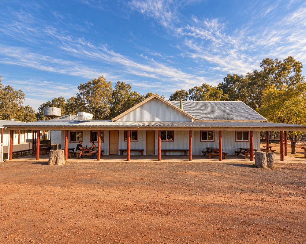
Much of the middle of the run is unsealed. In dry weather the dirt sections are fine for ordinary cars and for caravans built for corrugations, taken slowly; after rain they turn to black-soil mud and are closed, sometimes for days, with fines for driving on them. Allow four days at least, a week if you can, and travel between March and October.
The Route, Stage by Stage
Walgett to Brewarrina and Bourke (231 km, sealed)
The run starts on the Barwon, which becomes the Darling above Bourke. Brewarrina has the ancient stone fish traps, and Bourke has the Back O’ Bourke Exhibition Centre and river cruises in season.
Bourke to Louth (about 100 km, unsealed)
Roads run down both banks. Gundabooka National Park lies on the east side and Toorale National Park on the west. Louth has a pub, Shindy’s Inn, and a famous race meeting in August.
Louth to Tilpa (about 90 km, unsealed)
Station country, with Trilby and Dunlop stations taking campers. Tilpa is a pub, a bridge and a handful of houses.
Tilpa to Wilcannia (137 km, unsealed)
The loneliest stage. Wilcannia, on the sealed Barrier Highway, was once the third-largest port in the state and keeps its sandstone buildings.
Wilcannia to Menindee (about 150 km, unsealed)
Roads follow both banks to Menindee, with its lakes and Kinchega National Park.
Menindee to Pooncarie and Wentworth (about 245 km, sealed)
This stage has been sealed since the end of 2024, so it is now an all-weather drive through Pooncarie to the junction with the Murray.
Where To Stay
Camping on the river is the point of the trip. There are free or low-cost camps at Four Mile Reserve near Brewarrina, Mays Bend at Bourke, Tilpa and Lake Pamamaroo at Menindee, national park campgrounds at Gundabooka, Toorale and Kinchega, and caravan parks at Bourke, Wilcannia, Menindee, Pooncarie and Wentworth.
Station stays are the other pleasure: Trilby and Dunlop near Louth, and others further down such as Nelia Gaari and Bindara between Wilcannia and Pooncarie. Most offer river campsites and some have cottages or shearers’ quarters. Ring ahead, as several close over summer.
Eat & Drink
Meals come from the pubs: Shindy’s Inn at Louth, the Tilpa Hotel, where you can write on the wall in return for a donation to the Flying Doctor, the golf club at Wilcannia (no hotel there is trading), and the hotels at Menindee and Pooncarie. Carry food and plenty of water for the stages between.
In Bourke, Morrall’s Bakery has baked pies for more than 110 years. In Menindee, Maidens Hotel, where Burke and Wills stopped in 1860, serves counter meals and has a dining room, and the Pooncarie Telegraph Hotel, dating from 1879, cooks meals seven days and sells its own red gum honey gin. Fuel is sold at Bourke, Wilcannia, Menindee and Wentworth; Louth has limited fuel, and petrol may not be available at Tilpa.
Fuel and Road Conditions
Fuel is sold at Brewarrina, Bourke, Tilpa, Wilcannia, Menindee and Wentworth, and usually at Louth and Pooncarie, where it pays to phone first. The longest gaps are about 150 km. Before each unsealed stage check the road reports issued by Bourke, Central Darling and Wentworth shires, or ask at the visitor centres in Bourke and Wilcannia. Mobile coverage is limited to the towns.
History
The Darling is the Baaka of the Barkindji people, who take their name from it. The first paddle steamer reached Bourke in 1859, and for half a century boats carried wool from the stations down to the Murray. Railways and a river that could not be relied on ended the trade in the early 1900s. In the flood of 1956 the river spread to about 80 km wide at Tilpa.
Experiences
- Historic/Heritage
- Remote
- Rural/Country
- Self-Drive
Popular Activities
- Caravan and Camping
- Driving
- Fishing
- National Park
- Outback
- Sightseeing
About Darling River Run
- Locality: Suburb
- Darling River Run Postcode: 2840
- State: New South Wales
- Region: Outback NSW
- Latitude: -30.08885
- Longitude: 145.93774
- Timezone: Australia/Sydney
