
Curtis Island, QLD
Curtis Island is one of the largest islands on the Queensland coast, stretching about 40 kilometres along the northern side of Gladstone Harbour. Most of it is national park, conservation park and cattle country. Visitors head for South End, a tiny holiday settlement on the south-eastern tip, about an hour and a half by ferry from Gladstone.
Known For
- South End and its long ocean beach
- Flatback turtle nesting in summer
- Four-wheel-drive tracks and bush camping
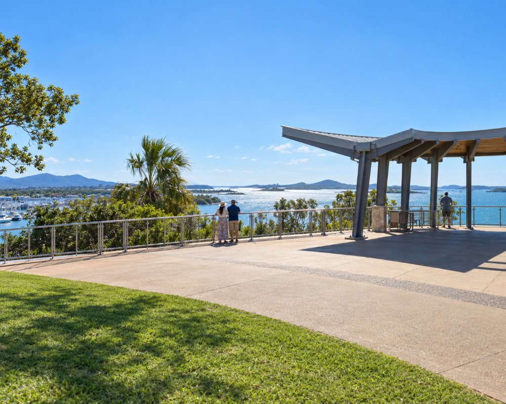
South End has a few dozen permanent residents, a scatter of beach houses and sandy streets. The gas export plants that changed Gladstone are on the far south-western corner of the island; they are closed to the public and out of sight from the village.
Things To Do in Curtis Island
South End beach
The ocean beach runs for kilometres north of the village and is used for walking, fishing and four-wheel driving. It is one of the more important nesting beaches for flatback turtles in eastern Australia. Females come ashore from about November to January and volunteers monitor the nests; keep lights off and stay well back.
Four-wheel driving
Beyond South End there are no sealed roads. Sandy tracks lead north through the national park to camping areas and remote beaches. You need a high-clearance four-wheel drive, recovery gear and tide times.
Fishing
Fish the beach gutters for whiting, dart and flathead, and the creeks and harbour side for barramundi, mangrove jack and mud crabs.
Birdlife
The marine plains in the north of the island are one of the few homes of the Capricorn yellow chat, a small and very rare bird. The area is remote and access is restricted.
South End village and Front Beach
The ferry lands at a jetty about 1 km from the village, where Front Beach is the main swimming and picnic beach. Capricorn Lodge is the village’s meeting place, selling meals, fish and chips and cold drinks, and there are bush walking trails nearby.
Where To Stay
South End has holiday houses for rent and a simple lodge that has offered rooms, meals and a bar; check that it is operating before you go. The council runs a camping reserve in the village. In the national park there are bush camps at Turtle Street and Joey Lees, reached by four-wheel drive, and at Yellow Patch, reached only by boat. None has facilities, and permits must be booked with Queensland Parks.
South End’s council camping ground has 20 unpowered sites with ocean views, a shelter shed, gas barbecues and toilets, about 1 km from the ferry landing; book through the Gladstone Visitor Information Centre once your ferry is confirmed. Capricorn Lodge in the village has compact studio rooms and is the only choice for visitors without a tent or a holiday house. National park permits for Turtle Street, Joey Lees and Yellow Patch are booked online with Queensland Parks; Turtle Street was closed for a time in 2025 for storm repairs, so check park alerts before you go, and note that baiting for feral animals runs on the island from time to time.
Caravans are not practical here. The ferry carries vehicles, but the island tracks are soft sand and need high clearance and recovery gear, so most visitors leave the van in a Gladstone caravan park and go across with a tent or as foot passengers.
Eat & Drink
Bring all your food and drinking water. Supplies on the island are limited to whatever the lodge or a small kiosk is selling at the time.
Capricorn Lodge in South End, about 1 km from the ferry jetty, serves meals, fish and chips and cold drinks from its licensed bar, and also sells fuel, ice and bait. There is no other food on the island and nothing at all in the national park, so bring your food and drinking water with you. Before the ferry, Flavours Marina beside the ferry terminal in Gladstone is the place for breakfast, and the city’s supermarkets are a short drive from the marina.
History
The island is the country of the Bailai people and their neighbours. Matthew Flinders named Port Curtis in 1802 after Admiral Sir Roger Curtis. South End began as a pilot station for ships entering the harbour, and cattle have been run on the island since the 1860s.
Getting to Curtis Island
A vehicle and passenger ferry runs from Gladstone Marina to South End several days a week, calling at Facing Island on the way. It does not run every day and times change in holiday periods, so book ahead. Private boats can anchor off South End.
Experiences
- Caravan and Camping
- Island
- Nature based
- Remote
Popular Activities
- Beach
- Bird Watching
- Caravan and Camping
- Fishing
- National Park
- Off Road Driving
- Wildlife
About Curtis Island
- Locality: Island
- Curtis Island Postcode: 4680
- State: Queensland
- Region: Gladstone
- Latitude: -23.7560
- Longitude: 151.3050
- Timezone: Australia/Brisbane
