
Croajingolong National Park, VIC
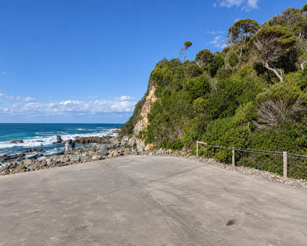
Croajingolong National Park stretches for about 100 km along the far East Gippsland coast, from Sydenham Inlet to the New South Wales border, covering more than 88,000 hectares. It is one of the wildest and most beautiful coastal parks in Australia, with long empty beaches, granite headlands, tannin-dark inlets, heath, forest and pockets of rainforest.
The park surrounds the town of Mallacoota and is reached by unsealed roads from Cann River and Genoa. Its name comes from Krauatungalung words meaning belonging to the east.
Known For
- Point Hicks, where Cook’s crew first sighted Australia
- Wild inlets and empty beaches
- Remote camping at Thurra River and Wingan Inlet
Things To Do in Croajingolong National Park
Point Hicks
On 19 April 1770, Lieutenant Zachary Hicks on Cook’s Endeavour sighted the mainland of Australia near this headland. The Point Hicks lighthouse, first lit in 1890, and its keepers’ cottages are closed for conservation works, but you can walk to the precinct from Thurra River, about 4.5 km one way.
Thurra River and Mueller Inlet
A new bridge over the Thurra River opened in 2025, and the Thurra River campground reopened for Easter 2026 with more than 30 sites. Nearby Mueller Inlet is perfect for kayaking, and the Thurra River Dunes Walk climbs huge sand dunes for coastal views.
Wingan Inlet
Wingan Inlet, reached by West Wingan Road about 17 km east of Cann River, has a campground among bloodwoods and the 3 km walk to Fly Cove, where seals haul out on the rocks. Some walks and sites have been closed after storms, so check before you go.
Shipwreck Creek
Shipwreck Creek, about 15 km from Mallacoota, is a small campground near a beautiful beach.
Genoa Peak
Genoa Peak, near Genoa, is a 1.5 km climb to a summit with views over the forest to Mallacoota Lake.
Wilderness Coast Walk
The Wilderness Coast Walk follows the coast from Bemm River through Croajingolong to Mallacoota and on into New South Wales. Fire and flood damage mean walkers need good map and navigation skills.
When To Visit
Spring, summer and autumn are the best times for camping and walking. Whales pass along the coast in winter and spring. Unsealed roads can close after heavy rain, so check Parks Victoria for alerts.
Where To Stay
For campers, the park has campgrounds at Thurra River, Thurra North (self-contained vans only), Mueller Inlet, Wingan Inlet, Shipwreck Creek and Peachtree Creek on Tamboon Inlet, booked through Parks Victoria. Bring drinking water.
The roads to Thurra River, Mueller Inlet, Wingan Inlet and Shipwreck Creek are unsealed, weather dependent and not recommended for caravans; camper trailers and off-road vans are the realistic choice. Mallacoota, Cann River and Genoa have caravan parks and stopovers, and fuel is available at Cann River and Mallacoota.
The rebuilt Thurra River campground has more than 30 sites and new toilets, with barbecues, picnic tables and fire pits being finished; fires are allowed only in the fireplaces provided. Thurra North has four sites and no toilets, so it suits vans with their own. At Mueller Inlet some sites remain closed after flooding. Wingan Inlet has fairly flat, open sites at the end of the unsealed West Wingan Road, with little or no phone reception and a 20 hp limit on boat motors. Shipwreck Creek, about 15 km from Mallacoota, has flat camping and picnic areas.
On Total Fire Ban days no fires are allowed, and the park closes on Catastrophic fire danger days. Cann River and Genoa have council stopovers with cold water and no power, and Mallacoota has the council-run foreshore park with powered sites, a boat ramp and camp kitchen. For the western end, Cape Conran Coastal Park has small free first-come camps at Binn Beach, Gunnai Beach and Pearl Point near Bemm River.
Eat & Drink
There are no shops or cafes in the park. Mallacoota has a pub, cafes and a bakery, and Cann River has a bakery and a pub on the highway.
There is no food or drink for sale anywhere in the park, so bring all supplies and drinking water. From Thurra River, the nearest food is at Cann River, about 45 km north, where the Cann River Bakery, the Cann River Hotel and the Fern and Feather community cafe sit on the highway. At the eastern end, Mallacoota has the Mallacoota Hotel bistro, Lucy’s Noodles, Scallywags, Cafe 54 and the Mallacoota Bakery, and Gipsy Point Lodge serves dinner on selected days. Near the western end, the Bemm River Hotel serves meals.
History
This is Gunaikurnai and Bidhawal Country, and shell middens along the coast show thousands of years of Aboriginal life. Point Hicks marks the first European sighting of the east coast of Australia in 1770. The park was established in 1979. It was once listed as a UNESCO biosphere reserve, but Australia withdrew it from the program in 2020. The Black Summer fires of 2019 and 2020 burnt most of the park, which is steadily recovering.
Getting to Croajingolong National Park
The park’s western end, at Thurra River, is about 490 km east of Melbourne via the Princes Highway and Cann River, around 6 hours’ drive. Mallacoota, at the eastern end, is about 523 km away. There is no public transport into the park.
Experiences
- Eco Tourism
- Nature based
- Remote
- Self-Drive
Popular Activities
- Beach
- Bush Walking
- Caravan and Camping
- Fishing
- Kayaking
- National Park
- Wildlife
