
Chichester Dam, NSW
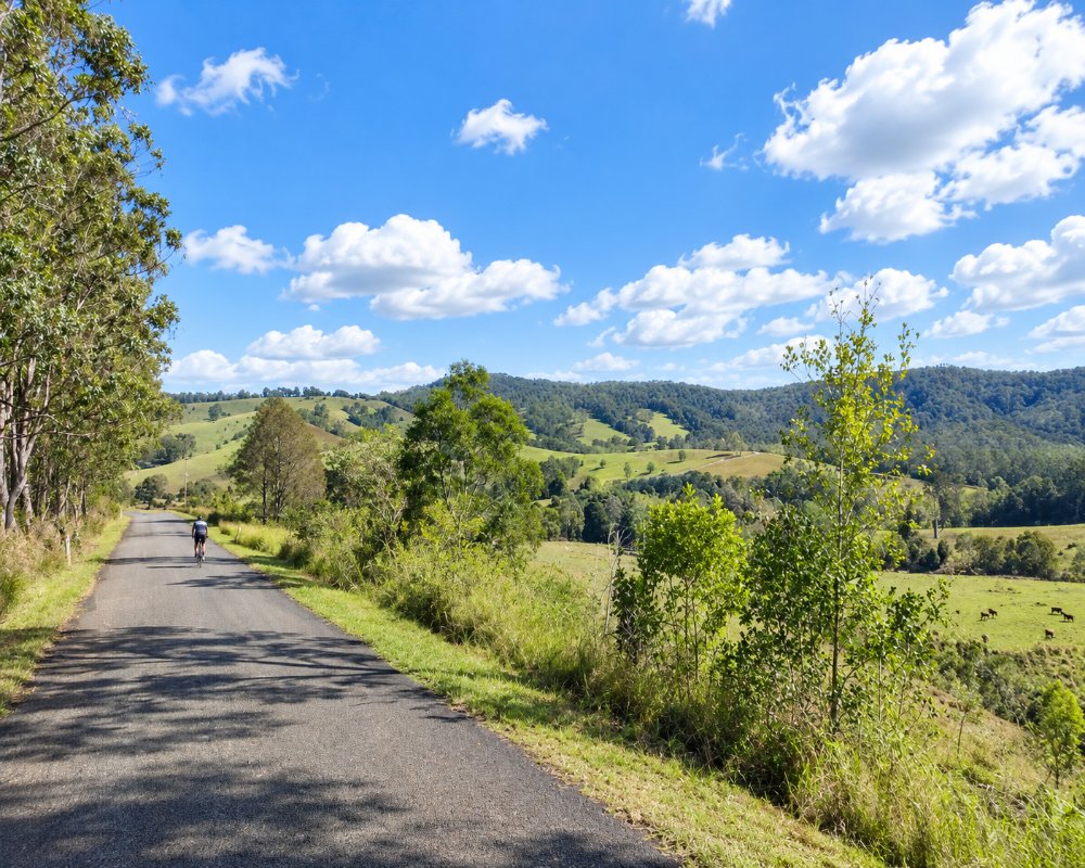
Chichester Dam lies in a steep green valley 23 kilometres north of Dungog, where the Chichester and Wangat rivers meet below Barrington Tops.
Known For
- A historic dam in a mountain setting
- Picnic lawns by the river
- The road to the southern Barrington forests
The dam was built between 1915 and 1926 and still supplies a large share of the drinking water for Newcastle and the lower Hunter. Because it is a drinking water supply, swimming, boating and fishing are not allowed on the lake.
Things To Do at Chichester Dam
Picnic and lookout
A grassy picnic area with barbecues and shelters sits beside the river below the curved concrete wall. A road leads to the top of the wall for the view up the lake to the ranges. It is a fine sight when the dam spills. Hunter Water closed the wall to visitors after the January 2025 flood and had the whole site closed for works in late 2026, so check its Chichester Dam page before driving up.
Forest drives and walks
Beyond the dam, gravel roads follow the Chichester and Telegherry rivers into state forest and the southern edge of Barrington Tops National Park. There are riverside picnic and camping areas, swimming holes in the rivers above the dam’s catchment limits, and rainforest walks. Signs show where swimming is permitted.
Problem Creek Falls
Turn right off Chichester Dam Road into Wangat Road for the Telegherry River side of Chichester State Forest. From Frying Pan Creek, a short track kept up by the Friends of Chichester volunteers leads to Problem Creek Falls, and Dundungara Falls is a steeper short walk nearby.
The Allyn River side
The western half of the forest is centred on the Allyn River and is best reached from Gresford. Allyn River Forest Park is a popular picnic spot, and the Ladies Well swimming hole is a short walk from the White Rock, Old Camp and Pademelon Park camping areas. Nights there often drop below zero between June and November.
Where To Stay
Bush camping areas are in the forest north of the dam, and there are cabins and farm stays along the valley. Dungog has pubs, a motel and bed and breakfasts.
Hunter Water does not allow camping at the dam. Next door, Ferndale Park at 1940 Chichester Road, Bandon Grove, is a council-approved camping area with caravan, campervan and tent sites, hot showers and flush toilets, and dogs are welcome; the last 2 km is gravel. The free Forestry Corporation camps on the Telegherry River suit tents and camper trailers more than big vans, and they were closed after storms in mid-2025, so check first. Dungog has 16 powered sites at the showground.
Eat & Drink
Bring a picnic. The nearest shops and cafes are in Dungog.
Dungog has The Barn Dungog Pastry House for pies for the picnic basket, pub meals at the Bank Hotel, a bistro at the RSL and a supermarket with the last fuel before the forest. Coming through Paterson, the Vacy General Store and Cafe is a handy stop.
History
This is Gringai country, within the wider Wonnarua lands. The dam was built as the Lower Hunter’s first dedicated drinking water storage, and in 1916 the scheme resumed parts of the Wangat and Chichester valleys, including the old gold-mining town of Wangat. Water runs about 80 km by gravity main to reservoirs at Maitland, Cessnock and Newcastle. The wall was tied to the bedrock with 93 stressed cables in 1985, and a small hydro-electric station was added in 2001. Today 76 per cent of the catchment is national park.
Getting to Chichester Dam
From Dungog take Chichester Dam Road north. The road is sealed to the dam. Allow 25 minutes.
From Sydney it is about 240 km via the M1, the New England Highway to Maitland, then Paterson and Dungog. Hunter Water says the roads to and within the site are sealed and take coaches, so caravans are fine; the forest roads beyond are gravel.
Experiences
- Historic/Heritage
- Nature based
- Rural/Country
- Self-Drive
Popular Activities
- Bush Walking
- Caravan and Camping
- Driving
- National Park
- Off Road Driving
- Rainforest
- Sightseeing
About Chichester Dam
- Locality: Lake
- Chichester Dam Postcode: 2420
- State: New South Wales
- Region: Hunter
- Latitude: -32.2430
- Longitude: 151.6860
- Timezone: Australia/Sydney
