
Bloomsbury, QLD
Bloomsbury is a small rural locality on the Bruce Highway about 85 kilometres north-west of Mackay and 40 kilometres south of Proserpine. It marks the northern edge of the Mackay region, where cane farms give way to cattle country and forested hills.
Known For
- A fuel and food stop on the highway
- The turn-off to Midge Point
- Cane and cattle country beside the O’Connell River
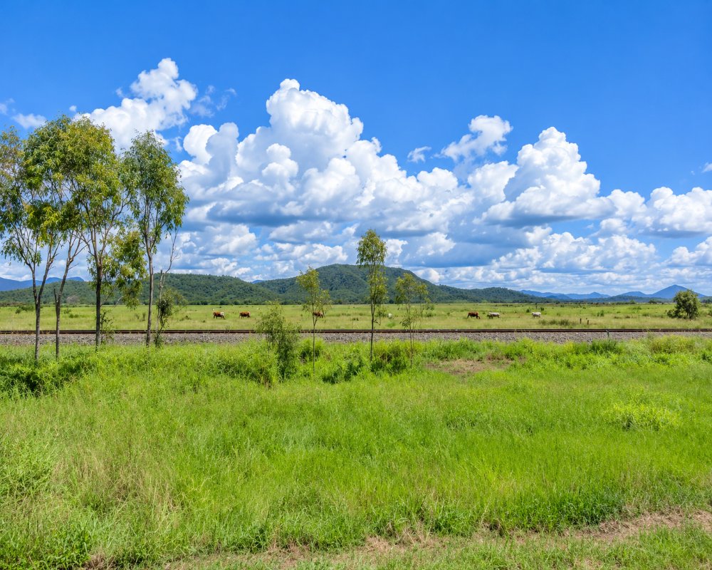
There is no town centre, only a roadhouse, a school, a hall and scattered farms. Travellers stop for fuel and something to eat, or turn off here for the coast. It would be wrong to suggest there is more to it than that.
Things To Do in Bloomsbury
Midge Point
The road east from Bloomsbury runs 18 kilometres to Midge Point, a quiet beach village on Repulse Bay with a tavern and a small shop; its caravan park is closed for now.
O’Connell River
The highway crosses the O’Connell River just north of Bloomsbury. It is a well-known barramundi river in its tidal reaches, fished from boats launched nearer the mouth. Crocodiles are common, so stay back from the banks.
Cathu State Forest
The south-west of the locality takes in Cathu State Forest, in the Clarke Range. The Jaxut camping area beside Pandanus Creek and the Cathu Lookout are reached on four-wheel-drive tracks only, not suitable for caravans, and camp sites must be booked with Queensland Parks. Logging trucks work the forest roads, so drive with care.
Andromache River railway bridge
Just south of town, the North Coast line crosses the Andromache River on a large steel-and-concrete bridge built in 1923, when the railway was pushed north through this district. You can see it from the highway near the river crossing. Bloomsbury State School followed in 1927.
Where To Stay
There is no accommodation to speak of at Bloomsbury. Midge Point has a few small hosted camp sites while its caravan park is closed, and Proserpine has motels.
Bloomsbury is a fuel stop, not a place to stay. The service station may allow a free overnight stop, so ask inside before you park. Midge Point, about 18 km east on a sealed road, has a few small hosted camp sites, including Midge Point Waters Camping (listed through Hipcamp, pets welcome, a short walk from the water), but its caravan park is closed. Self-sufficient campers can use the council’s St Helens Beach camping reserve, about 35 minutes south via Calen, with hot coin showers and no power.
Proserpine, about 40 km north, has motels and holiday parks, and Airlie Beach, a further 25 km, has the widest choice of caravan parks on this part of the coast. Heading south, the Cape Hillsborough Nature Tourist Park, about an hour away, has powered sites, cabins and a pool but no pets. Fill water tanks in Proserpine or Mackay.
Eat & Drink
The roadhouse serves takeaway, burgers and coffee and sells basic supplies.
Bloomsbury has one place to eat, the roadhouse on the highway, which sells fuel and has a counter for takeaway, burgers and coffee, though check its kitchen hours. Midge Point, about 18 km east, has a tavern and a small shop, but the tavern’s opening days could not be confirmed, so ring ahead. For a reliable meal, Proserpine, about 40 km north, has pubs, bakeries, cafes and supermarkets. Heading south, Calen, about 35 km away, has an Ampol service station and a country pub. Fuel: yes, at the Bloomsbury roadhouse.
History
The district is the country of the Yuwibara and Gia peoples. Bloomsbury began as a cattle run in the 1860s and later became a railway siding and cane-growing area supplying the Proserpine mill.
Getting to Bloomsbury
Bloomsbury is on the Bruce Highway, about an hour from Mackay and 30 minutes from Proserpine.
Experiences
- Remote
- Rural/Country
- Self-Drive
Popular Activities
- Caravan and Camping
- Driving
- Fishing
About Bloomsbury
- Locality: Rural locality
- Bloomsbury Postcode: 4799
- State: Queensland
- Region: Mackay
- Latitude: -20.7053
- Longitude: 148.59576
- Elevation: 49m
- Timezone: Australia/Brisbane
