Beerwah, QLD
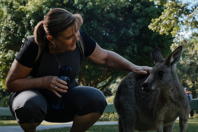
Mt Beerwah – the name given to one of the eroded volcanic plugs dubbed the Glass House Mountains by Captain James Cook as the Endeavour plied north along the south-east Queensland coast in 1770 – is now the sentinel standing guard over a chain of national parks which protect unique and fragile flora and fauna. The town lies just outside the parks off the hinterland road which parallels the Bruce Highway. The parks, of course, are a major attraction, but Beerwah is also within comfortable driving distance to the Sunshine Coast to the near north and Kilcoy and Lake Somerset to the west. You can meet some of the local wildlife for close encounters like tortoise, kangaroos, snakes and crocodiles. The summit of Wild Horse Mountain presents breath-taking views of this very distinctive south Queensland region.
Brisbane (State Capital): 69 Kilometres.
Nearest Airport: Brisbane
Where to stay?
Experiences
- Caravan and Camping
- Rural/Country
- Eco Tourism
- Environmental
- Historic/Heritage
- Mountain
- Nature based
Popular Activities
- Off Road Driving
- Trail bike riding
- Bird Watching
- Bush Walking
- Cycling
- Driving
- Golfing
- Horse Riding
- Skating
- Swimming
- National Park
- Fishing
- Rainforest
- Wildlife
- Fishing - Estuary
About Beerwah
- Locality: Urban locality
- Beerwah Postcode: 4519
- State: Queensland
- Region: Sunshine Coast
- Latitude: -26.85704
- Longitude: 152.95716
- Elevation: 31m
- Population: 6769
- Median Income: $29484
- Area (Sq/km): 58.61
- Timezone: Australia/Brisbane