
Eyre Highway, WA
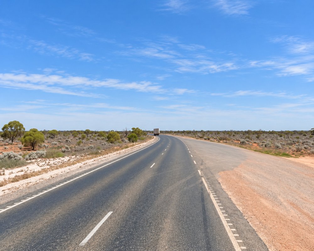
The Eyre Highway is the great road across the Nullarbor, running 1,664 km from Norseman in Western Australia to Port Augusta in South Australia. The WA section, about 720 km from Norseman to the border at Border Village, crosses the Great Western Woodlands and the treeless Nullarbor Plain, with a string of roadhouses spaced up to 190 km apart.
This is Ngadju country around Norseman and Balladonia, and Mirning country along the Nullarbor coast. Crossing the Nullarbor is one of Australia’s classic road trips: the highway is sealed all the way and suits any caravan, but it needs planning for fuel, water and long days of driving.
Known For
- The 90 Mile Straight, Australia’s longest straight road
- Remote roadhouses and the Nullarbor Links golf course
- Eucla’s telegraph station ruins and the Great Australian Bight
Things To Do in Eyre Highway
Distances from Norseman
The main stops, measured from Norseman, are Fraser Range Station at about 100 km, Balladonia at about 190 km, Caiguna at 372 km, Cocklebiddy at 438 km, Madura at 529 km, Mundrabilla at 646 km and Eucla at 710 km, with Border Village about 12 km further on. Norseman to Balladonia is the longest stretch without fuel.
The 90 Mile Straight
Between Balladonia and Caiguna, the highway runs dead straight for 146.6 km, the longest straight stretch of road in Australia. Stop for a photo at the sign at either end.
Roadhouses
Fraser Range Station has camping, rooms and dinner but no fuel. Balladonia has a free museum with pieces of Skylab, which fell here in 1979. Caiguna is near a blowhole, Cocklebiddy is the turn-off to the Eyre Bird Observatory, Madura sits at the foot of the Madura Pass, Mundrabilla has a shady beer garden, and Eucla has the telegraph station ruins, the old jetty and whale watching from May to October.
Nullarbor Links
The world’s longest golf course has holes at Norseman, Balladonia, Caiguna, Cocklebiddy, Madura, Mundrabilla, Eucla and Border Village. Buy a scorecard in Kalgoorlie, Norseman or Ceduna, and get it stamped as you go.
Royal Flying Doctor airstrips
Several sections of the highway are marked as emergency landing strips for the Royal Flying Doctor Service.
Time zone
From just east of Caiguna to Border Village, roadhouses use unofficial Central Western Time, 45 minutes ahead of Perth. Caiguna itself is on Perth time.
Where To Stay
Every roadhouse has a caravan park or camping area, and most have motel rooms, but none has a public dump point and water is mostly desalinated bore water, so fill tanks and empty cassettes in Norseman, or Ceduna if heading west. Roadhouse hours are limited, generally from early morning to evening, with 24-hour card fuel at only some stops, so plan fuel carefully and carry a spare jerry can if you tow a big van.
Main Roads rest areas along the highway, such as Ten Mile Rocks and Newman Rocks west of Balladonia, are popular free overnight stops for self-contained travellers. Watch for road trains up to 53.5 m long, and for kangaroos, camels and wandering stock at dawn and dusk.
Heading west into Western Australia, all vehicles must stop at the WA quarantine checkpoint beside Border Village, open 24 hours. Fresh fruit and vegetables, honey, plants, seeds and used produce boxes are not allowed. Heading east, the South Australian check is at Ceduna.
Eat & Drink
Every roadhouse has a restaurant or kitchen, and most have a bar. In Norseman, the Ngadju Gateway Motel’s Wanyarr Watertree Restaurant and the Norseman Hotel are the last proper meals before the crossing. Fraser Range Station serves a set dinner each night, Balladonia has an à la carte restaurant beside its Skylab museum, Caiguna, Cocklebiddy and Madura are now run by the same owners, each with a restaurant and tavern, Mundrabilla has a beer garden, and the Eucla Motel has a licensed restaurant and a pub with sunset views. Fuel runs 24 hours only at Madura, Mundrabilla and Eucla, so time your stops.
History
Edward John Eyre and Wylie made the first European crossing in 1841. The East-West Telegraph Line followed the coast from 1877. A road was built during World War II, finished in 1942 and named the Eyre Highway in 1943. Heavy traffic for the 1962 Perth Commonwealth Games damaged the gravel road, and the WA section was sealed by 1969. The final South Australian section was sealed in 1976.
Getting to Eyre Highway
Norseman is about 725 km east of Perth via the Great Eastern Highway and Coolgardie. From Norseman, allow two days to reach the border comfortably, and more to enjoy the stops.
The best time to cross is April to October, when days are milder. Summer often brings days above 40°C, and bushfires can close the highway, as they did in 2019 and 2020.
Experiences
- Historic/Heritage
- Remote
- Rural/Country
Popular Activities
- Caravan and Camping
- Driving
- Sightseeing
About Eyre Highway
- Locality: Road
- Eyre Highway Postcode: 6443
- State: Western Australia
- Region: Esperance & the Golden Outback
- Latitude: -32.1961
- Longitude: 121.7781
- Timezone: Australia/Perth
