
Munglinup, WA
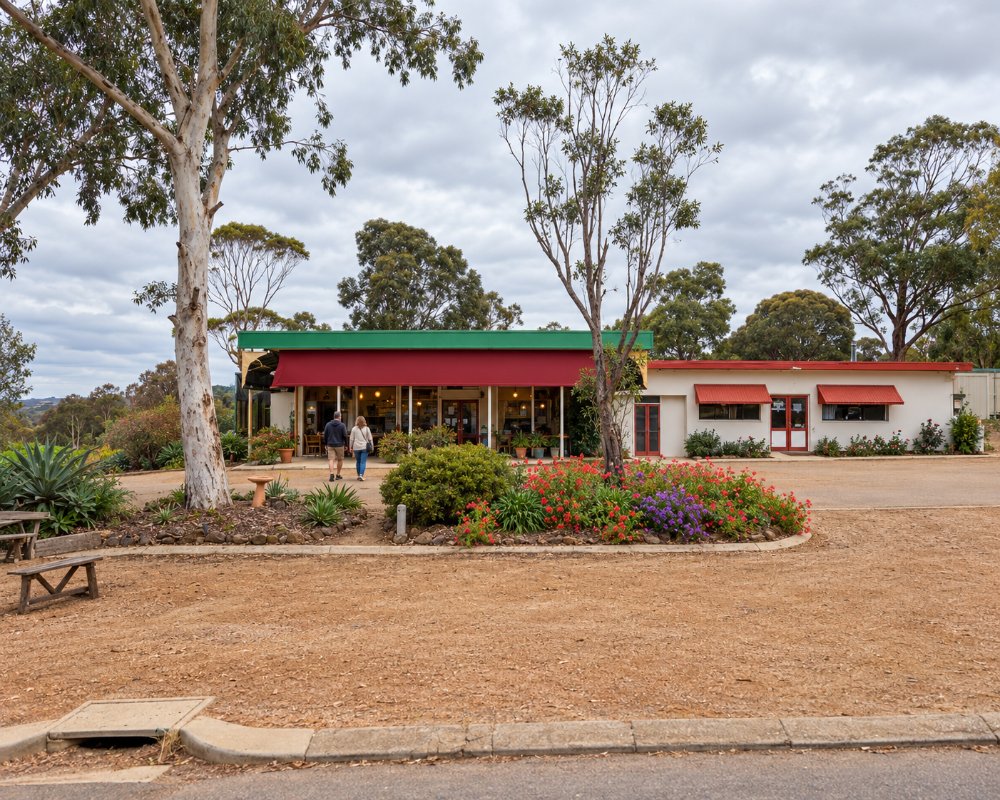
Munglinup is a small farming town on the South Coast Highway, about 84 km east of Ravensthorpe and about 100 km west of Esperance, home to around 140 people. It is in the Shire of Ravensthorpe, with the Munglinup River forming much of the boundary with the Shire of Esperance. For travellers, it is best known for its roadhouse and its free RV stop, and for Munglinup Beach, a quiet spot on the coast to the south.
This is Wudjari Country, and the name is said to mean the place where young people met their in-laws. The town was settled in the 1960s as farms were cleared in the area.
Known For
- The Munglinup Roadhouse on the South Coast Highway
- Munglinup Beach and the Oldfield River estuary
- A free 48-hour RV stop
Things To Do in Munglinup
Munglinup Beach
About 24 km south of the highway, Munglinup Beach has a lagoon protected by a reef, good for swimming and snorkelling, and fishing for salmon, herring and skippy.
Oldfield River estuary
The estuary is good for kayaking and canoeing, and a bush walk follows the river to the ocean. Look out for honey possums, hooded plovers and Carnaby’s cockatoos.
Lake Shaster
A short drive away, Lake Shaster is good for birdwatching.
Where To Stay
A free RV stop for fully self-contained vehicles is across from the roadhouse on Tubada Street, with a 48-hour limit; enter from the highway, not the truck bay. A dump point is near the toilets and RV area. Munglinup Beach Caravan Park, opposite the Oldfield River estuary, has powered and unpowered sites and cabins, and the Shire’s Munglinup Beach campground nearby has toilets and is paid at the caravan park.
The road to the beach is sealed for the first 10 km along Fuss Road, then gravel on Springdale Road and Munglinup Beach Road, but suitable for 2WD vehicles and caravans in dry weather.
Eat & Drink
The Munglinup Roadhouse on Tubada Street is the only stop between Ravensthorpe and Esperance, selling fuel, takeaway food and coffee, groceries, bait and ice, with a bottle shop and the post office. It’s open from early morning to late evening.
History
The Dempster brothers’ runs appear on maps of the area from 1868. Farming spread through the district from the late 1950s, and the townsite was surveyed in 1961 and gazetted in 1962.
Getting to Munglinup
Munglinup is on the South Coast Highway, about 623 km south-east of Perth, around seven hours’ drive, about 84 km east of Ravensthorpe and 100 km west of Esperance.
Spring brings wildflowers, and summer is the season for the beach; book the beach caravan park ahead for school holidays.
Experiences
- Historic/Heritage
- Rural/Country
Popular Activities
- Driving
- Sightseeing
About Munglinup
- Locality: Rural locality
- Munglinup Postcode: 6450
- State: Western Australia
- Region: Esperance & the Golden Outback
- Latitude: -33.708
- Longitude: 120.865
- Timezone: Australia/Perth
