
Gowrie Park and Mount Roland, TAS
Gowrie Park is a tiny settlement at the foot of Mount Roland, 14 km south-west of Sheffield on the road to Cradle Mountain. Only a few dozen people live here.
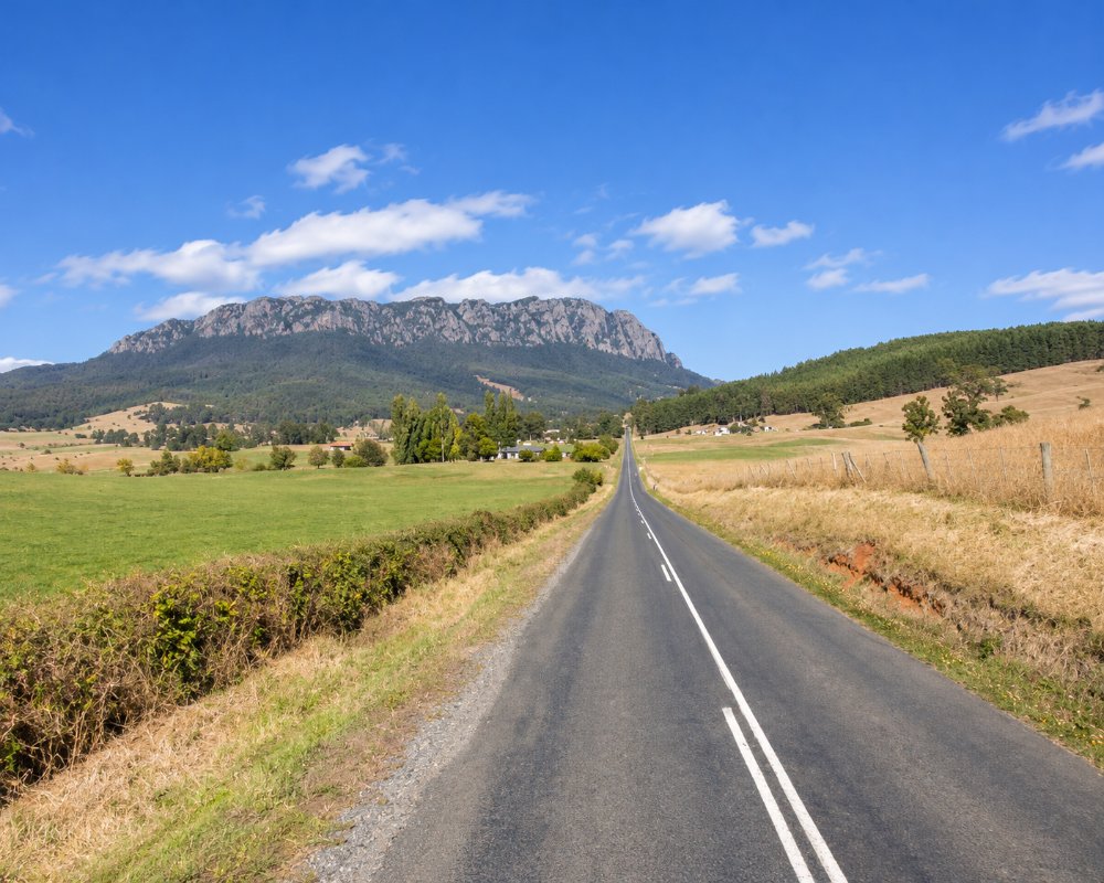
Mount Roland, a great wall of rock 1,234 metres high, fills the skyline for miles around, and Gowrie Park is where the walking tracks to its summit begin. It is also a convenient and inexpensive place to stay within 40 minutes of Cradle Mountain.
Known For
- The cliffs of Mount Roland
- Walking tracks to the summit
- A handy base near Cradle Mountain
Things To Do in Gowrie Park
Mount Roland by O’Neills Road
The easier route to the summit starts from a car park on O’Neills Road, just off the main road at Gowrie Park. It climbs steadily through forest to the plateau and then crosses open country to the top, where the last few metres are a scramble over boulders. Allow four to six hours return.
Mount Roland by Kings Road
The Face Track, from Kings Road at Claude Road, climbs straight up the northern cliffs. It is shorter but very steep, with boulder scrambling, and is for experienced walkers only.
Mount Vandyke and Mount Claude
Other tracks lead to the neighbouring peaks, each a walk of two to five hours.
The Mural
A large mural on a shed at Gowrie Park shows Mount Roland through the seasons.
Nearby
The maze and model village at Promised Land are 15 minutes away, and the murals of Sheffield ten minutes.
Where To Stay
There are two places to stay at Gowrie Park.
The Gowrie Park Wilderness Village has cabins, bunk rooms, powered caravan sites and camping. The O’Neills Creek campground on Claude Road, a short way along, is a low-cost camp with a toilet block and shelter that suits caravans, motorhomes and tents, and allows dogs; a short stay limit applies. Sheffield has fuel, a supermarket and a dump point.
Eat & Drink
Do not count on finding a meal at Gowrie Park. Sheffield, ten minutes away, has cafes, a bakery and a hotel.
History
Gowrie Park was a farm before it became, in the 1960s, the construction village for the Mersey-Forth hydro-electric scheme, when some two thousand people lived here. When the dams were finished the village was dismantled, and the buildings that remained became the holiday village. Mount Roland is named after Captain John Rolland, who explored the district in 1823.
Getting to Gowrie Park
From Sheffield, follow Claude Road (C136) south-west for 14 km. The road is sealed and continues to Cradle Mountain, with a steep, winding descent to the Forth River beyond Gowrie Park. The roads to the walking tracks are gravel.
Experiences
- Nature based
- Rural/Country
Popular Activities
- Bush Walking
- Sightseeing
About Gowrie Park and Mount Roland
- Locality: Rural locality
- Gowrie Park and Mount Roland Postcode: 7306
- State: Tasmania
- Region: North West Coast
- Latitude: -41.4706
- Longitude: 146.2134
- Elevation: 290m
- Timezone: Australia/Hobart
