
Legerwood and Ringarooma, TAS
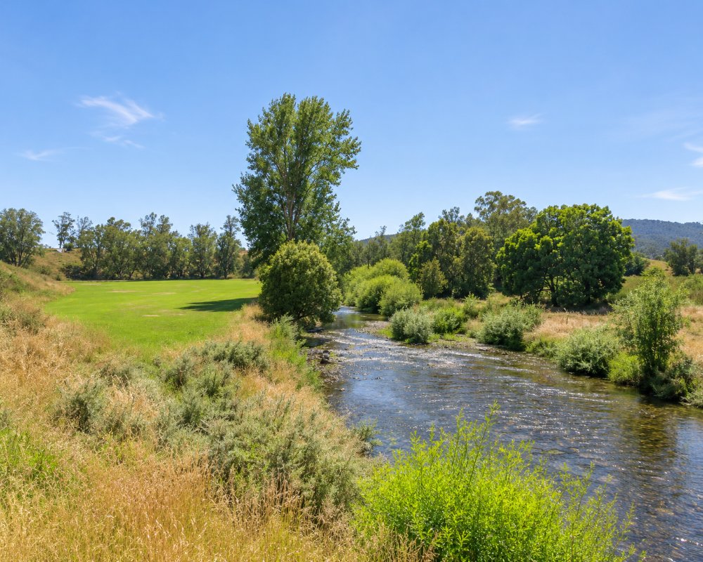
Legerwood and Ringarooma are two small farming towns in the hills of the north-east, just off the Tasman Highway between Scottsdale and Branxholm. Legerwood is about 24 km south-east of Scottsdale, and Ringarooma is a few kilometres further up the valley.
About 600 people live in the two towns. Travellers turn off the highway for the carved memorial trees in Legerwood’s main street, and stay on for the dairy country and the waterfall in the ranges behind.
Known For
- The carved memorial trees at Legerwood
- Ralphs Falls and Cashs Gorge
- A dairy valley with free RV stops
Things To Do in Legerwood
Legerwood Carved Memorial Trees
In October 1918 the town planted a row of trees beside the railway to honour local men killed in the First World War. When the trees were found to be unsafe, the community did not fell them. From 2004 the chainsaw sculptor Eddie Freeman carved each trunk into figures of the soldiers and scenes from their lives, some 25 figures in all. The trees stand in a park on the main street with a picnic area and toilets.
Ringarooma
Ringarooma sits in rich dairy country that once supported two butter factories, and has styled itself a dairy capital of the state.
Ralphs Falls
About 15 km south-east of Ringarooma, in the Mount Victoria Forest Reserve, a 20-minute return walk leads to a lookout over a ribbon of water that falls nearly 100 metres down a cliff. A circuit of about 50 minutes continues through Cashs Gorge. The road in is rough and unsealed, so leave a caravan at Ringarooma.
North East Rail Trail
The rail trail from Scottsdale follows the old railway through forest and farmland towards Legerwood, on an easy gravel surface.
Where To Stay
Accommodation is limited to a few farm stays and the free RV stops.
Self-contained caravans and motorhomes can stay free for up to 14 days at the Ringarooma Recreation Ground, and at the recreation ground at Winnaleah further east; both are unpowered. Legerwood has a small overnight parking area near the trees. Branxholm and Derby have council camping areas with showers. The nearest dump point is at Scottsdale. Card-operated fuel is available at Legerwood and Ringarooma.
In Scottsdale, about 24 km north-west, Anabel’s of Scottsdale offers self-catering suites, motel-style units and studio rooms in an 1895 homestead on King Street, and Northeast Park has free unpowered sites for tents and caravans for up to 14 days, with toilets, card-operated showers and the area’s dump point.
Branxholm Park, beside the Ringarooma River in Branxholm, is a free council camp with unpowered sites, a toilet block, showers and a laundry, plus a playground, a tennis court and a seasonal pool; no bookings are taken, and campers are asked to contribute at the ticket machine. From there an 8 km link trail runs to Derby, where Derby Park and the Derby Trailhead camping area offer free camping on the same basis, with showers and drinking water, close to the Blue Derby mountain bike trails.
The Ringarooma and Winnaleah recreation ground RV parks are for self-contained vehicles only, so arrive with full water tanks and empty your waste at Scottsdale. Fuel up at Legerwood or in Scottsdale before driving into the ranges.
Eat & Drink
Places to eat are few and their hours change, so check locally or plan on Scottsdale, Branxholm or Derby.
In Ringarooma, Lost Time at 27 Main Street is a coffee house and community space serving coffee, homemade meals, seasonal specials and sweet treats, with outdoor tables; it is also the local postal agency. In Branxholm, Tin Timbers is known for its locally baked pies and doubles as a visitor information centre, and Casa Pinocchio serves Italian food in the old schoolhouse on Scott Street. Scottsdale, about 24 km north-west, has The House Paddock for breakfast and lunch and Little Rivers Brewing Co. for beer and pizza.
History
James Scott selected the Legerwood property in 1855 and named it after a place in the Scottish Borders. The first settlers reached the Ringarooma valley in the 1860s, a private township was auctioned in 1882, and the town took the name Ringarooma in 1888. Legerwood grew around its railway station. The memorial trees were planted on 15 October 1918.
Getting to Legerwood
From Launceston, take the Tasman Highway (A3) through Scottsdale, about an hour and a quarter in all; the road is sealed but winds over the Sideling. Turn off onto the signposted road to Legerwood and Ringarooma, which is sealed.
Experiences
- Historic/Heritage
- Rural/Country
- Self-Drive
Popular Activities
- Bush Walking
- Caravan and Camping
- Cycling
- Driving
- Sightseeing
About Legerwood and Ringarooma
- Locality: Rural locality
- Legerwood and Ringarooma Postcode: 7263
- State: Tasmania
- Region: Launceston & North
- Latitude: -41.2229
- Longitude: 147.7116
- Elevation: 249m
- Timezone: Australia/Hobart
