
Bundaleer Forest, SA
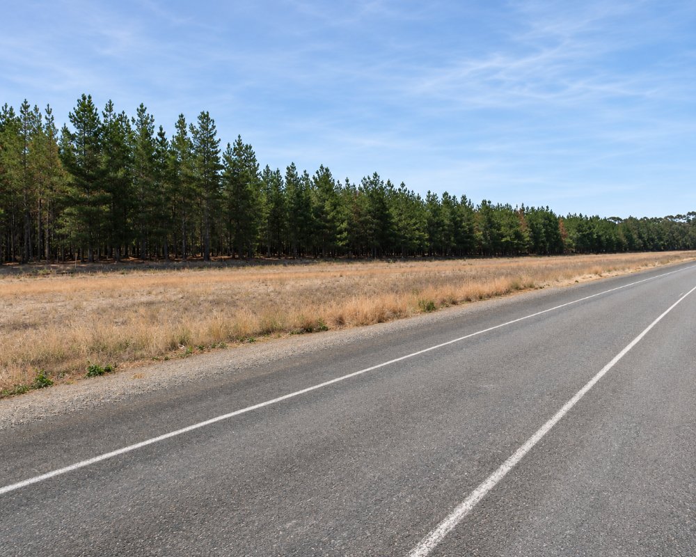
Bundaleer Forest lies in the ranges nine kilometres south of Jamestown. In 1876 the South Australian government planted trees here to see whether timber could be grown in a colony that had almost none, and Bundaleer became the first plantation forest in Australia.
Pines came to dominate, but the early foresters also tried oaks, elms, maples and poplars, and the old plantings around the picnic ground give the place the feel of a park, with bright colour in autumn. A bushfire in 2013 burnt part of the forest and the commercial plantation was sold in 2017. The picnic and walking areas are now cared for by a volunteer community association.
Known For
- The first plantation forest in Australia
- Easy walks among maples, oaks and pines
- Picnic ground, nature playground and camping
Things To Do in Bundaleer Forest
Maple Walk
An easy 1.5 kilometre loop along the creek through maples and other European trees, at its best in late April and May.
Sculpture Walk
A short walk of under a kilometre past artworks left from the arts festivals once held in the forest.
Conservator’s Trail
A 4.6 kilometre circuit, taking about an hour and a half, that passes a dry stone wall, the Conservator’s Hut of 1890 and the original arboretum. The Scenic Trail is a similar length through leased forest, where walkers must keep to the marked route.
Long-Distance Trails
The Heysen Trail and the Mawson Trail both pass through, and a 33 kilometre loop links the forest with Jamestown for cyclists.
Picnic Ground
The picnic area off Springs Road has shelters, toilets and a large nature playground. Dogs are welcome on the trails.
Where To Stay
Camping is allowed on the old sports oval beside the picnic ground, with toilets nearby. It is booked through the Bundaleer Sports and Recreation Ground, which runs the campground and is generally available in the cooler months, from about April to November. The historic Conservator’s Hut can also be booked.
Caravans should check access and conditions when booking. Jamestown, ten minutes north, has a caravan park on Belalie Creek and a motel.
The campground on the Bundaleer sports and recreation ground at 31 Springs Road sits beside the cricket oval, the tennis courts and the picnic ground, a short stroll from the Maple Walk and the trail heads, and kangaroos are often out on the grass at dawn. Bookings are needed before you arrive. Facilities are simple, so come with full water tanks and charged batteries, and empty waste tanks in Jamestown. Campfires are not allowed in the fire danger season, and the forest reserve closes on total fire ban days, so check the Mid North fire ban district forecast before you set out.
The nearest dump point is at The Park Jamestown, about 9 km north, which also has ensuite cabins, villas and around 40 powered sites, and Jamestown’s RV reserve at Robinson Park takes self-contained rigs at a low nightly fee. For walkers on the Heysen and Mawson trails, Flairville on Heysen, a four-bedroom farmhouse in the West Bundaleer hills, and the Barbed Wire Pub at Spalding, about 25 km south, both have beds.
Eat & Drink
There is nothing for sale in the forest. Bring a picnic from Jamestown, which has bakeries, cafes and a supermarket.
There is no kiosk or cafe in the forest. The nearest food is in Jamestown, about 9 km north: the Jamestown Bakery beside Belalie Creek for pies, pasties and coffee to bring back to the picnic ground, Wild With Style in Ayr Street for coffee and cake, Klingner’s Kitchen in Vohr Street for fuel and takeaway, and the Commercial Hotel for a pub meal any day of the week. Foodland in Arran Street is open seven days. To the south, the Barbed Wire Pub at Spalding is about 25 km away.
History
Bundaleer is on Ngadjuri country. The forest reserve was set aside in 1875 and the first 17,000 or so trees went in the next year. A sawmill worked from 1910.
Getting to Bundaleer Forest
From Jamestown, drive south towards Spalding and turn onto Springs Road, following the signs to the picnic ground. The final section is unsealed.
Experiences
- Active
- Mountain
- Nature based
- Self-Drive
Popular Activities
- Bird Watching
- Bush Walking
- Caravan and Camping
- Cycling
- Mountain Biking
- National Park
- Sightseeing
About Bundaleer Forest
- Locality: Rural locality
- Bundaleer Forest Postcode: 5491
- State: South Australia
- Region: Clare Valley
- Latitude: -33.2785
- Longitude: 138.57613
- Elevation: 427m
- Timezone: Australia/Adelaide
