
Brisbane Water National Park, NSW
Brisbane Water National Park covers about 11,500 hectares of sandstone country between the Hawkesbury River and the towns of the southern Central Coast. The motorway and the railway from Sydney both run through it, so most visitors have seen it from a window without knowing its name. It is worth stopping for: there are waterfalls, some of the finest Aboriginal engravings open to the public, and in late winter one of the best wildflower displays near Sydney.
Known For
- Somersby Falls
- The Bulgandry Aboriginal engraving site
- Waratahs and views at Warrah Lookout
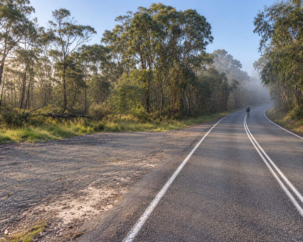
The park is in several separate parts, and the places below are reached from different roads.
Things To Do in Brisbane Water National Park
Somersby Falls
On the plateau near Somersby, Floods Creek drops over a series of rock ledges into a rainforest gully. A track with many steps leads down from the picnic area to the top, middle and bottom falls, about 400 metres each way. The lower section was rebuilt in 2026. There are barbecues and tables, and a vehicle fee applies.
Bulgandry Aboriginal Art Site
A short, level path off Woy Woy Road, near Kariong, leads to a broad rock platform engraved with figures of people, fish, wallabies and a canoe. A boardwalk lets you see them without walking on the rock. The carvings are clearest early or late in the day, when the sun is low.
Girrakool
Near the motorway at Somersby, the Girrakool picnic area is the start of a loop walk along Piles Creek past cascades and lookouts, taking about an hour and a half. More engravings can be seen beside the track.
Warrah Lookout and Patonga
In the southern part of the park, above Pearl Beach and Patonga, a short walk leads to Warrah Lookout, high over the mouth of the Hawkesbury. Waratahs flower along the road and tracks here from late August to October. A track links Patonga and Pearl Beach over the ridge.
The Great North Walk
The long-distance track from Sydney to Newcastle crosses the park from Patonga to Somersby. Wondabyne, a tiny railway platform with no road access, lets walkers join it for day walks to Pindar Cave or Kariong Brook Falls; trains stop only on request.
Where To Stay
There are no car campgrounds in the park.
The gated picnic areas at Somersby Falls and Girrakool close each evening, and there are no other places to stay inside the park.
For the southern section, the council’s Patonga Caravan and Camping Area sits in the village at the foot of the park, beside the start of the Pearl Beach walk and the Great North Walk, with 36 powered and 45 unpowered sites, and NRMA Ocean Beach Holiday Resort at Umina Beach has cabins and powered sites. For the Somersby and Girrakool section, Walkabout Wildlife Sanctuary at Calga has cabins inside the sanctuary, and Gosford, about 10 km east of Somersby Falls, has voco Gosford and several motels. Woy Woy Road is sealed but steep and winding, and the picnic-area car parks suit cars better than caravans.
Eat & Drink
There is nowhere to buy food or drink inside the park, so bring a picnic and plenty of water. Somersby Falls has free barbecues and picnic tables, and Girrakool and Staples Lookout also have picnic areas. After a walk on the southern side, the Boathouse Hotel at Patonga has a beer garden on Broken Bay, BOX on the Water sits on the sand at Ettalong, and Woy Woy Fishermen’s Wharf sells seafood and fish and chips beside the channel. Near Somersby and Bulgandry, Gosford is 10 to 15 minutes away, with The Archibald precinct’s pub, grill and Italian and rooftop restaurants (Drifters Wharf on the waterfront closed in April 2026). The daily vehicle fee at Somersby Falls is paid at machines or through the Park’nPay app.
Gosford, Woy Woy, Umina and Pearl Beach have accommodation within fifteen minutes of the main sites.
On the south side, the Fishermen’s Wharf restaurant opens for lunch only and is closed on Wednesdays, and BOX on the Water’s kiosk at Ettalong has coffee from 7am. On the Gosford side, Astra on the rooftop of the 28-storey voco Gosford is a sunset drink with a view across Brisbane Water.
History
The park lies in the country of the Guringai and Darkinjung peoples, and hundreds of engraving and art sites are recorded in it. It was reserved in 1959. Staples Lookout, on Woy Woy Road, is named after a local man who pressed for its protection.
Getting to Brisbane Water National Park
For Somersby Falls and Girrakool, leave the M1 at the Gosford exit and follow the signs through Somersby. For Bulgandry, take Woy Woy Road from Kariong. For Warrah Lookout, drive through Umina towards Patonga. All are about an hour to an hour and a half from Sydney.
Experiences
- Active
- Cultural
- Eco Tourism
- Nature based
Popular Activities
- Bird Watching
- Bush Walking
- Mountain Biking
- National Park
- Sightseeing
- Swimming
- Wildlife
About Brisbane Water National Park
- Locality: National Park
- Brisbane Water National Park Postcode: 2250
- State: New South Wales
- Region: Central Coast
- Latitude: -33.4330
- Longitude: 151.2830
- Timezone: Australia/Sydney
