
Arrowsmith, WA
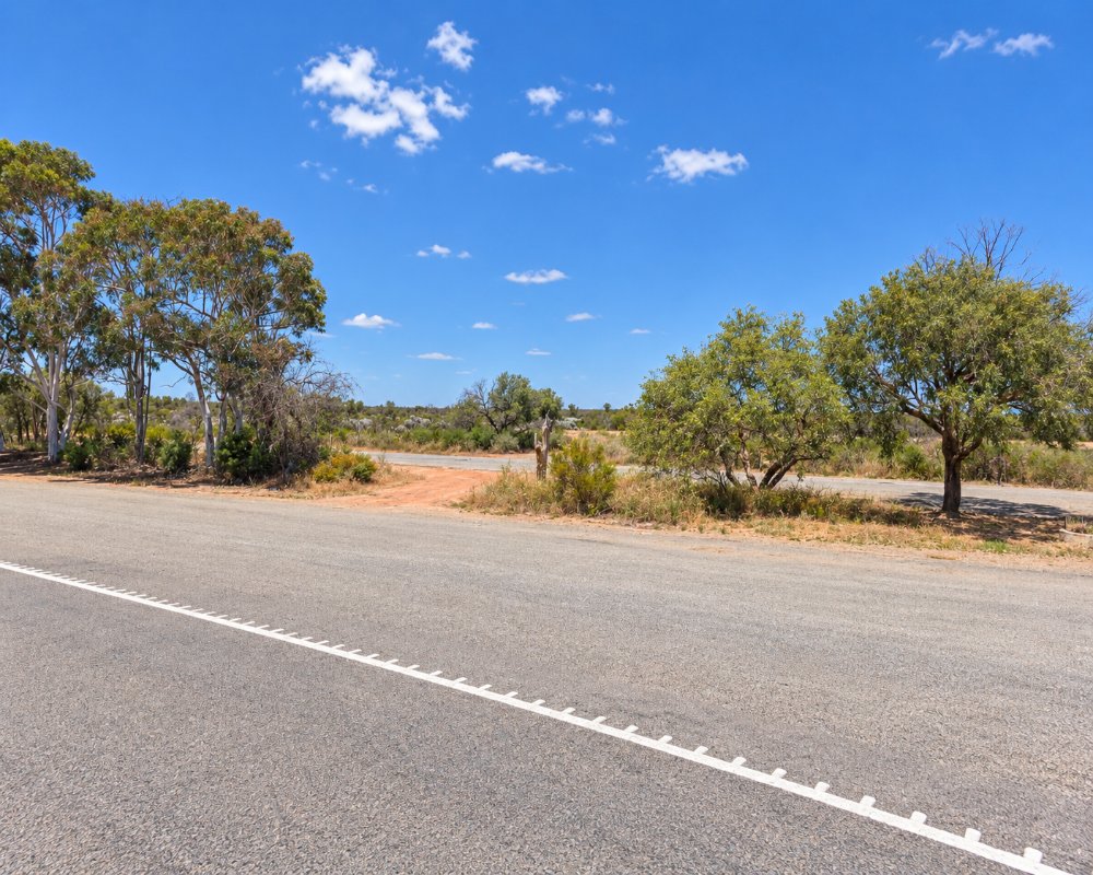
Arrowsmith is a large rural locality in the Shire of Irwin, about 45 km south-south-east of Dongara and about 335 km north of Perth. The Brand Highway passes through it, crossing farmland and patches of kwongan heath, the low, flower-rich shrubland that makes this part of Western Australia famous in spring.
This is Southern Yamatji country, and the Amangu people are the traditional owners. Arrowsmith has no town or services, and only a handful of residents, but it takes in the Arrowsmith River and wildflower drives, and lies between the coastal towns of Dongara and Port Denison and the wheatbelt towns of Three Springs and Mingenew.
Known For
- Kwongan heath and spring wildflowers
- The Arrowsmith River
- Farm country between Dongara and Eneabba
Things To Do in Arrowsmith
Wildflower drives
In spring, back roads through Arrowsmith, such as Robinson Road towards the Arrowsmith River crossing, show off wildflowers in the kwongan heath and along the road verges.
Coastal camps
West of the Brand Highway, the Shire of Irwin’s coastal camps at Cliff Head, Freshwater Point and Knobby Head sit beside Indian Ocean Drive.
Dongara and Port Denison
The twin towns of Dongara and Port Denison, about 45 minutes north, have beaches, a marina, heritage buildings and cafes.
When To Visit
Spring is the time to drive through Arrowsmith, when the kwongan heath and road verges are full of banksias, grevilleas, everlastings and other wildflowers, usually from August to October. Winter brings green paddocks and cool, clear days, while summer is hot and dry, with the coastal camps near Dongara the best place to escape the heat. Watch for kangaroos on the Brand Highway at dawn and dusk.
Where To Stay
There is no accommodation or fuel in Arrowsmith. The nearest caravan parks are in Dongara and Port Denison to the north, with the Shire of Irwin’s coastal camps at Cliff Head, Freshwater Point and Knobby Head charging a fee per vehicle. Eneabba, to the south, has a short-stay camp and a roadhouse. The Brand Highway is sealed.
Eat & Drink
There is nowhere to eat in Arrowsmith. Dongara, Port Denison and Eneabba have pubs, cafes and roadhouses.
History
The area was taken up for farming in the 1800s and 1900s. A hydrogen project using wind and solar power has been proposed for land at Arrowsmith, about 30 km south of Dongara.
Getting to Arrowsmith
Arrowsmith lies along the Brand Highway, about 45 km south-south-east of Dongara and about 335 km north of Perth.
The best time to visit is August to October, when the wildflowers bloom.
Experiences
- Rural/Country
- Self-Drive
Popular Activities
- Driving
- Sightseeing
About Arrowsmith
- Locality: Rural locality
- Arrowsmith Postcode: 6525
- State: Western Australia
- Region: Exmouth & the Coral Coast
- Latitude: -29.54356
- Longitude: 115.06993
- Elevation: 32m
- Population: 12
- Median Income: $37648
- Area (Sq/km): 820.67
- Timezone: Australia/Perth
