
Williams, WA
Williams is a small farming town on the Albany Highway, about 161 km south-east of Perth, home to around 420 people. Travellers have stopped here on the road between Perth and Albany since the 1850s, and it is still one of the most popular places to break the journey.
This is Noongar country. The town is named after the Williams River, which was sighted in 1831 and probably named after King William IV. Williams is also a handy base for a day trip to Dryandra Woodland National Park and its numbats.
Known For
- The Williams Woolshed and its cafe
- A riverside park with a giant numbat
- A classic stop on the Albany Highway
Things To Do in Williams
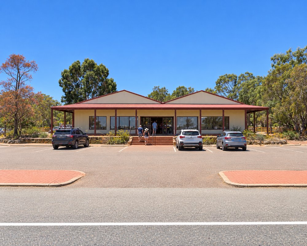
Williams Woolshed
On the Albany Highway, the Woolshed has The Shed Cafe, which is open daily, wool products, shearing displays, local wines and visitor information, along with EV chargers.
Lions Park
Beside the Williams River on the highway, Lions Park has toilets, barbecues, nature play, a long flying fox and a 3 m climbable numbat. A riverside path runs for about 1 km.
Williams Heritage Trail
A 1 km walk around town and a 35 km scenic drive to Quindanning take in the old cemetery, the 1880s convict tank and other early buildings.
Quindanning
About 30 km west, the Quindanning Hotel is a popular country pub, and the Quindanning Picnic Races are held on Easter Saturday.
Dryandra
Dryandra Woodland National Park is an easy drive east, with numbats, walk trails and night tours at Barna Mia.
Where To Stay
The Williams Motel and Shady Acre Caravan Park on Williams Street has caravan sites and motel rooms. Williams River Farmstay offers cottages and camping on a working farm. Fuel is sold at several roadhouses on the highway, open from early morning to evening. The Albany Highway is sealed.
Eat & Drink
Williams is one of the busiest stops on the Albany Highway, with good choice for a small town. The Williams Woolshed’s Shed Cafe is known for homemade pies and coffee, served daily alongside woollen clothing, regional wines and a shearing display. The Williams Hotel, near the river bridge and one of the few buildings in town older than 1905, has a dining room for lunch and dinner. The Bridge Roadhouse sells fuel and food beside gardens on the riverbank, and the BP and Ampol roadhouses on the highway also serve meals and takeaway. Out west, the Quindanning Hotel is a heritage bush pub with wood fires, big gardens and lunch and dinner daily, well worth the drive for a slow lunch.
History
Captain Thomas Bannister sighted the Williams River in 1831. A stop on the road to Albany grew up here from the 1850s, and most of the town’s buildings date from around 1905.
Getting to Williams
Williams is about 161 km south-east of Perth on the Albany Highway, a little under two hours’ drive. Narrogin is about 40 km east.
Williams is a good stop all year round, with spring the best time for wildflowers and Dryandra trips.
Experiences
- Farm/Station
- Historic/Heritage
- Rural/Country
- Self-Drive
Popular Activities
- Driving
- Golfing
- Sightseeing
- Wildlife
About Williams
- Locality: Urban locality
- Williams Postcode: 6391
- State: Western Australia
- Region: Esperance & the Golden Outback
- Latitude: -33.02661
- Longitude: 116.87876
- Elevation: 266m
- Population: 948
- Median Income: $43108
- Area (Sq/km): 2137.319
- Timezone: Australia/Perth
Accommodation In Williams
Discover some of the accommodation in and around Williams
