
Eton, QLD
Eton is a small township on the Peak Downs Highway, about 28 kilometres south-west of Mackay. It is the last settlement before the highway climbs the Eton Range towards Nebo and the coalfields.
Known For
- The last stop before the Eton Range
- Kinchant Dam close by
- Cane farms and an old country pub
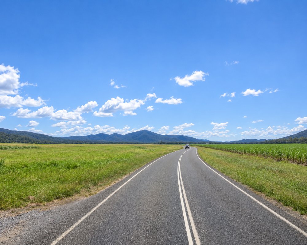
A few hundred people live here. The township is a pub, a store, a school and a few streets surrounded by cane, and most travellers see it through the windscreen. It is a handy place to pull over before or after the range, and the turn-off for one of the district’s favourite lakes.
Things To Do in Eton
Kinchant Dam
Ten minutes’ drive north-west, Kinchant Dam has a holiday park, boat ramps and a swimming area, and is fished for barramundi and sooty grunter.
The Eton Range
West of town the highway climbs steeply through forest to the top of the range. The road was rebuilt in recent years with extra lanes, and there are views back over the cane to the coast as you climb.
North Eton
A short drive north is North Eton, where a sugar mill crushed from the 1880s until 1988. Little remains, but the cane railways it served still cross the district.
Cane country back roads
From June to November the quiet roads around Eton are the place to watch harvesters and haulouts at work, and the local cycling club races on them. Take care at the many cane railway crossings, most of which have no lights or boom gates, as small locomotives haul strings of bins across the roads during the crush.
Where To Stay
There is no motel. The hotel may have rooms, and the nearest holiday park is at Kinchant Dam; otherwise stay in Mackay.
For caravans, Eton is a pull-over rather than a base. The nearest confirmed caravan parks are Mirani Caravan Park in the Pioneer Valley, about 25 km north via Marian, and the parks in Mackay, about 30 km east (Discovery Parks Mackay and Central Tourist Park are both listed by Mackay Isaac Tourism); Sarina’s Palms Caravan Village and Tropicana Caravan Park are about 35 km south-east by the back roads. Westbound travellers should note that the Peak Downs Highway climbs the Eton Range just west of town; the realigned road has overtaking lanes, but it is a long, steep grade, so use a low gear on the way down and let faster traffic pass.
After the range there is little until Nebo, about 65 km west (see the Nebo page). Kinchant Dam, about 12 km north-west, is the nearest lakeside camping (see the Kinchant Dam page).
Eat & Drink
The Eton Hotel serves counter meals and the store does takeaway.
No food venue in Eton could be confirmed as trading for this update, so stock up before you arrive. Walkerston, about 14 km east on the highway, is the nearest town with shops and fuel (BP Walkerston sells unleaded, diesel, E10, LPG and AdBlue and opens early every day). Mackay, about 30 km east, has the full range of cafes, pubs and supermarkets. There is no service station in Eton itself, and the next fuel heading west is at Nebo, about 65 km away over the range.
History
Eton was settled by cane growers in the 1870s and 1880s and named after the English town. It has been a farming village and highway stop ever since.
Getting to Eton
Follow the Peak Downs Highway from Mackay through Walkerston, about 25 minutes. A back road also runs south-east from Eton to Sarina.
Experiences
- 18-35's
- Farm/Station
- Nature based
- Rural/Country
- Self-Drive
Popular Activities
- Adventure
- Bush Walking
- Caravan and Camping
- Cycling
- Driving
- Fishing
- Horse Riding
- Sightseeing
About Eton
- Locality: Urban locality
- Eton Postcode: 4741
- State: Queensland
- Region: Mackay
- Latitude: -21.26284
- Longitude: 148.97543
- Elevation: 33m
- Population: 679
- Median Income: $33904
- Area (Sq/km): 97.788
- Timezone: Australia/Brisbane
