
Mungallala, QLD
Mungallala is a township of a few dozen people on the Warrego Highway, about 45 kilometres west of Mitchell and 135 kilometres west of Roma. It sits beside Mungallala Creek where the downs give way to red soil and mulga, a sign that the outback proper is close. A hotel, a small store and a park are its main features.
Known For
- A welcoming bush pub
- The eastern edge of the mulga lands
- A rest stop on the long road to Charleville
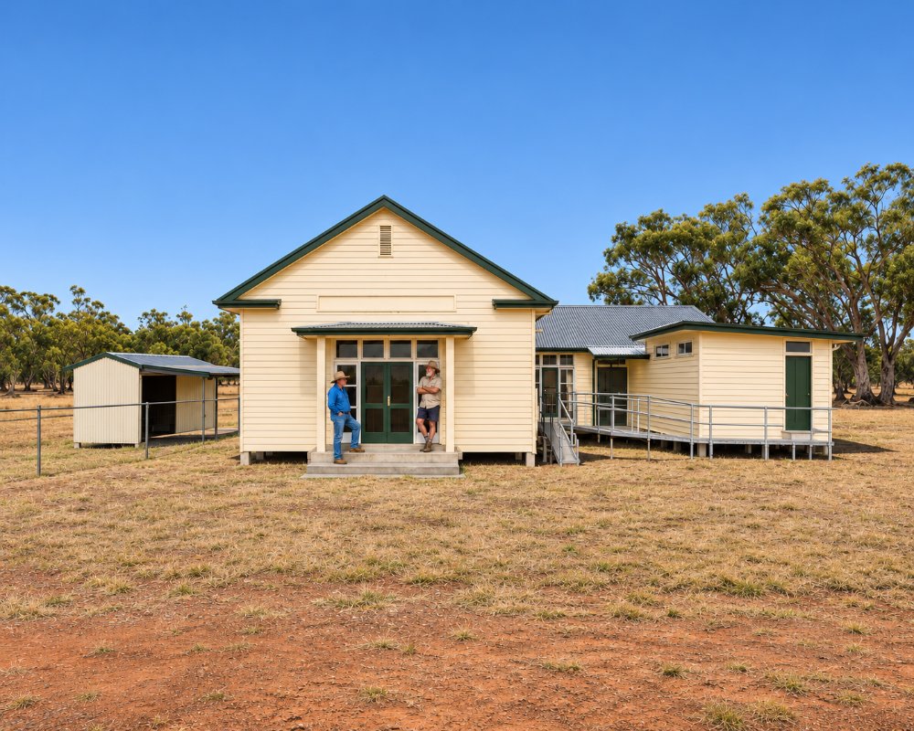
The district runs sheep and cattle, and cypress pine from the surrounding forests was milled here for many years.
Things To Do in Mungallala
Call in at the pub
The hotel is the meeting place for the district and a good spot to hear about the road ahead. Meals are served, and camping is usually possible nearby.
Look for wildlife
Red kangaroos, emus and wedge-tailed eagles are common along this stretch of highway, and after rain the roadside wildflowers can be superb.
Continue west
Morven, 45 kilometres on, is the junction for Charleville and for the road north to Augathella and Longreach.
Ooline Park
About 35 km west of Mitchell, on the way to Mungallala, a grove of ooline trees survives from the softwood scrubs that once covered much of inland Queensland. The ooline has glossy green leaves and bark that flakes in a tiled pattern, and it often grew with bottle trees, which you can also spot in the paddocks nearby.
The pub’s story
The Mungallala Club Hotel is the town’s only pub, built after the original burnt down in 1917. Ask at the bar about the old Cobb and Co run between Roma and Charleville, which staged through this country until the railway reached Charleville in 1888.
Where To Stay
Basic accommodation and camping are available at the hotel and a small caravan area.
The Mungallala Club Hotel on Redford Street, on the north side of the highway, has simple pub rooms and a camping area behind the hotel for caravans and tents; enter from Redford Street at the rear. Ask at the bar about the town’s other free camping spots. Mitchell, 45 km east, has the nearest caravan park with power and cabins, the Major Mitchell Caravan Park, as well as motels, a dump point at the showground and free riverside camping at Neil Turner Weir and Fisherman’s Rest.
Heading west, Morven is 45 km on and Charleville about 135 km, with long gaps between services. This is long-distance road train country: fill up with fuel and water in Mitchell before you leave, keep to daylight driving where you can, and watch for kangaroos and emus at dawn and dusk.
Eat & Drink
The hotel serves meals. Mitchell has the nearest supermarket and bakery.
The Mungallala Club Hotel is the meeting place for the district, with hearty pub meals, cold drinks and plenty of advice about the road ahead; check meal times before you rely on it for dinner. For more choice, Mitchell, 45 km east, has the Mitchell Bakery on Cambridge Street for pies, bread and cakes, the Spa Java cafe at the Great Artesian Spa, and pub meals at the Western Hotel and Hotel Richards. The Mucka Pub at Muckadilla is a further 46 km east of Mitchell. Pack food and water for the run west to Morven and Charleville.
Supermarkets and fuel: stock up in Mitchell, which has Foodworks and fuel on Cambridge Street.
History
Mungallala grew as a railway township in the 1880s. The name comes from the Gunggari language and is said to describe the sound of running emus.
Getting to Mungallala
Mungallala is on the Warrego Highway, half an hour west of Mitchell.
Experiences
- 18-35's
- Caravan and Camping
- Remote
- Rural/Country
- Self-Drive
- Soft Adventure
Popular Activities
- Bird Watching
- Caravan and Camping
- Driving
- National Park
- Outback
- Sightseeing
About Mungallala
- Locality: Rural locality
- Mungallala Postcode: 4467
- State: Queensland
- Region: Southern Queensland Country
- Latitude: -26.44691
- Longitude: 147.54386
- Elevation: 430m
- Population: 136
- Median Income: $26988
- Area (Sq/km): 451.32
- Timezone: Australia/Brisbane
